Over 120,000 acres of historic citrus orchards and Hohokam archaeological mounds paved over between 1950 and 2026.
ConsequenceSurface albedo decreased from 0.35 to 0.12, triggering a +8°F nocturnal urban heat island.
Explore the land, the traces we leave,
and the maps that connect them.
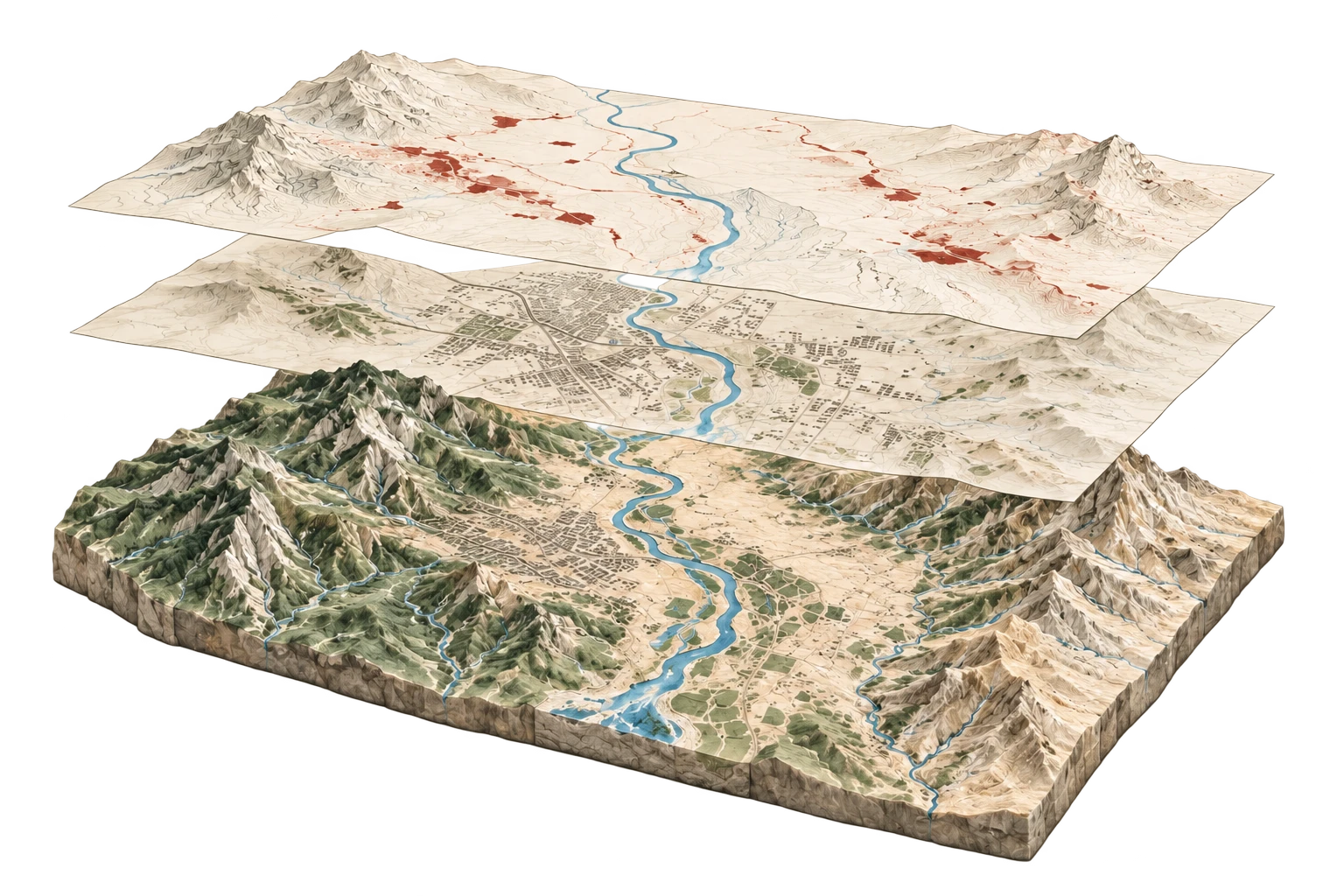
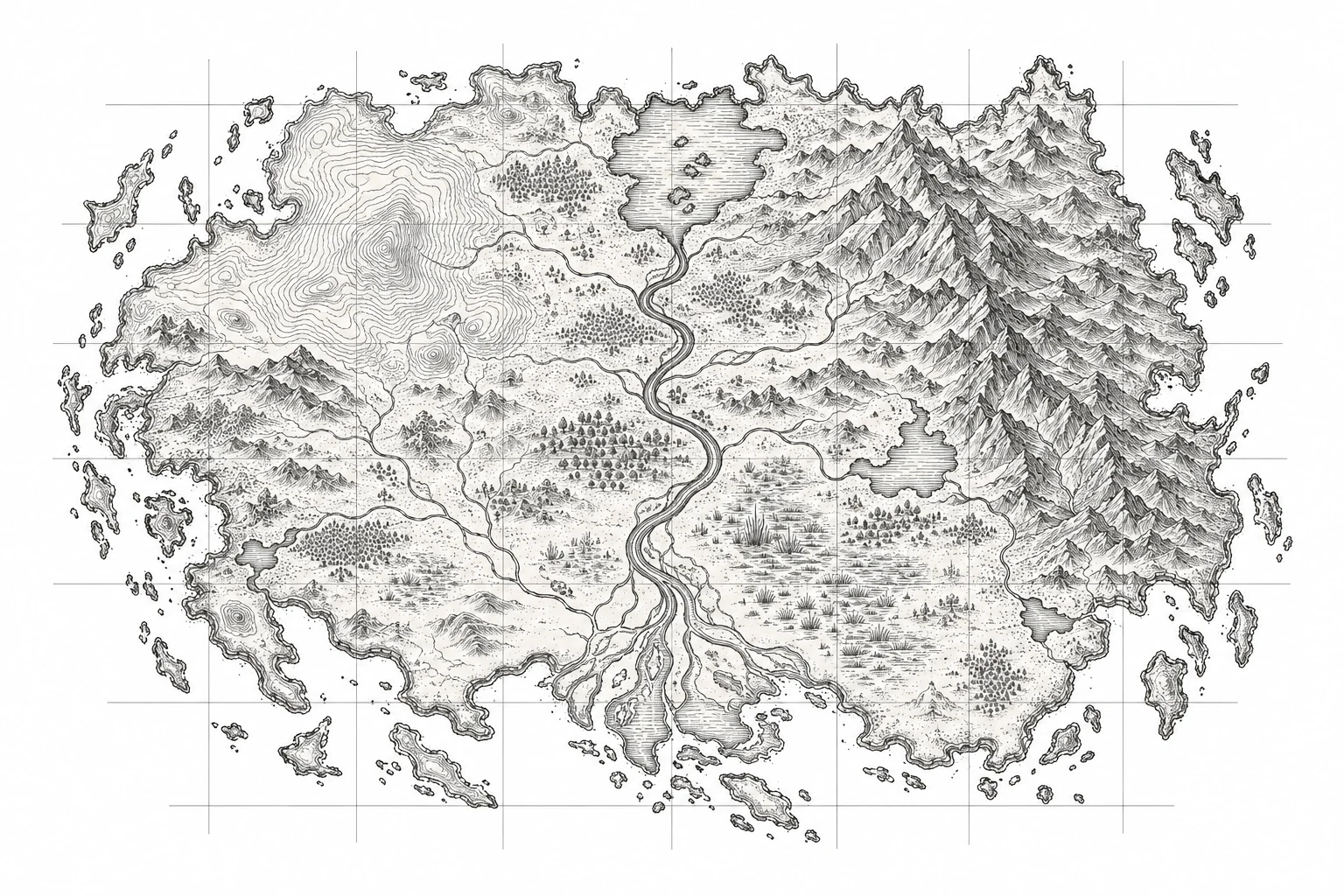
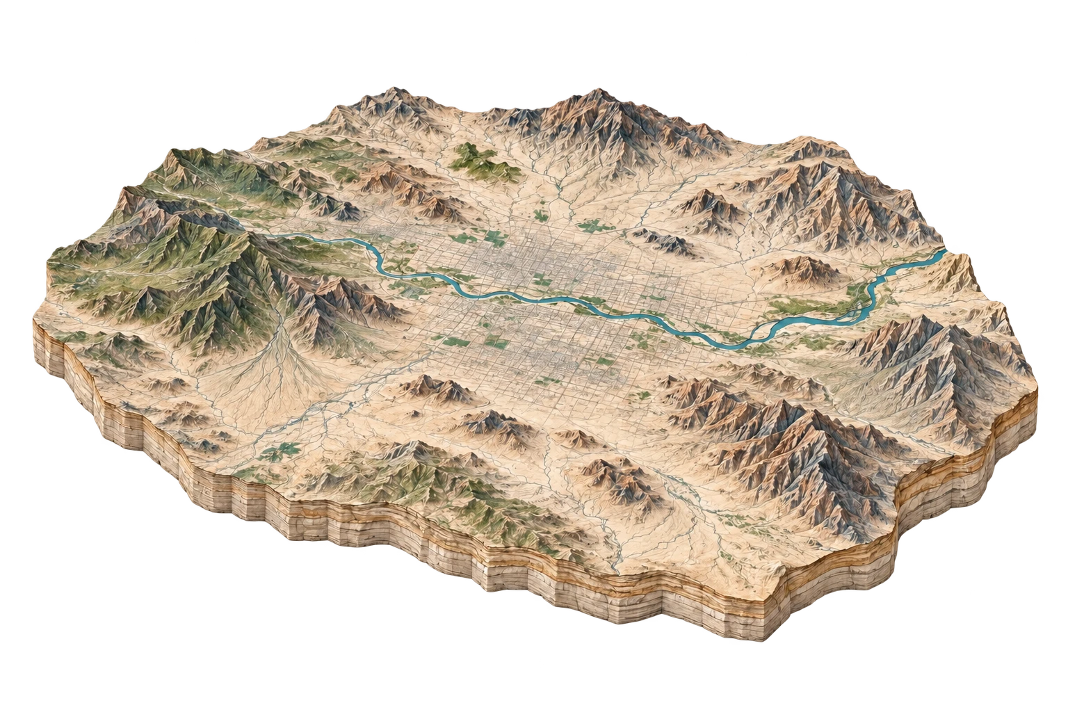
The ground beneath every story: relief, rivers and the shape of a place.
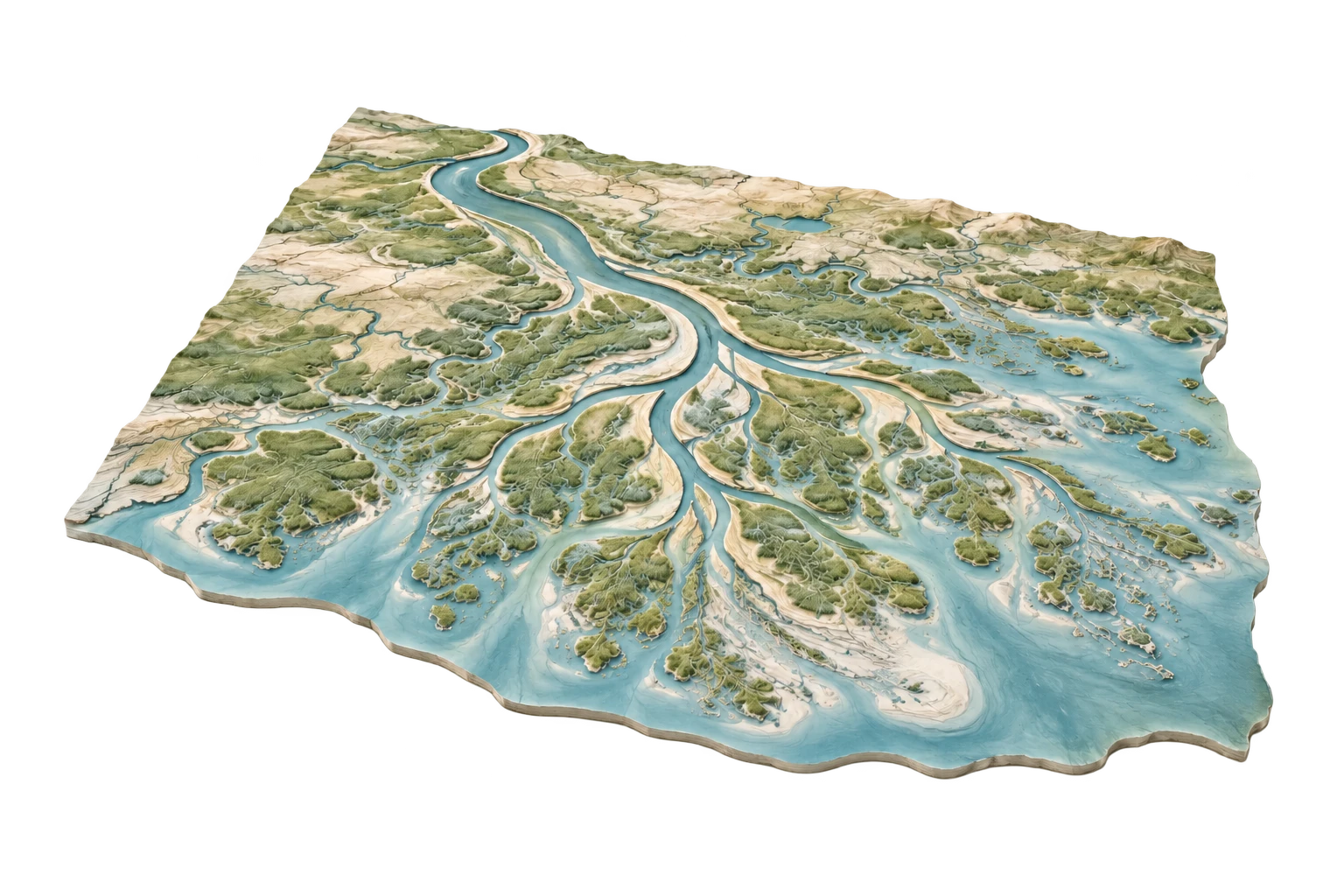 01 / LAND & WATER
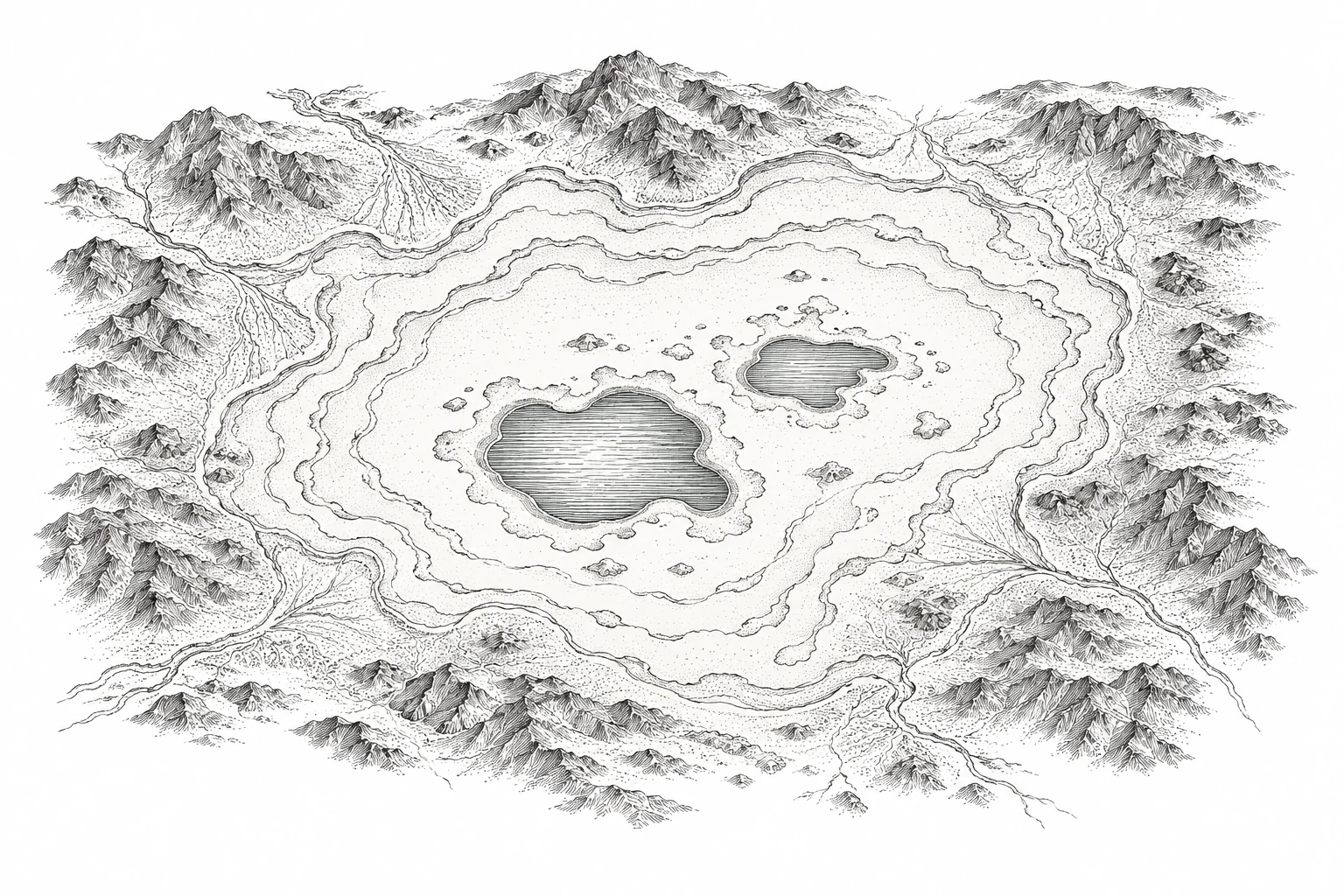
See how water shapes places over time.
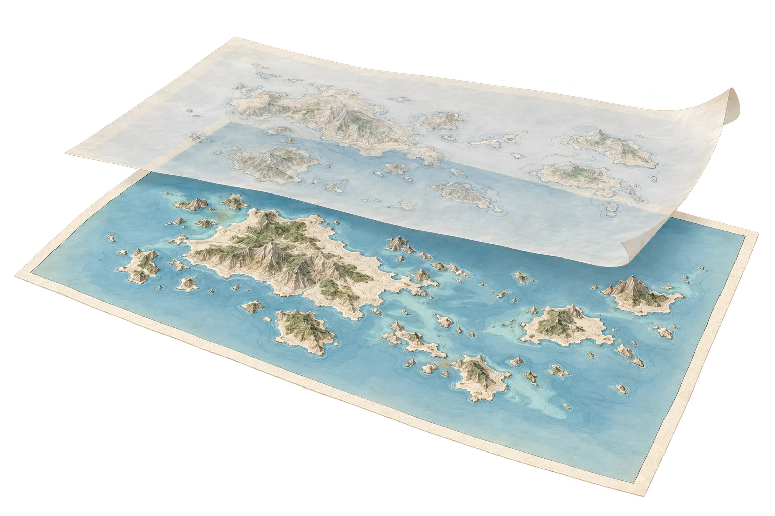 02 / MEMORY & CHANGE
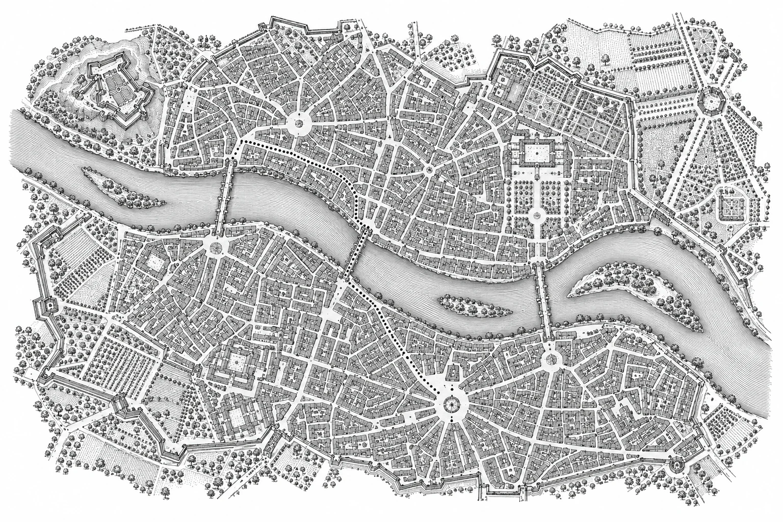
Uncover the layers of a place’s past.
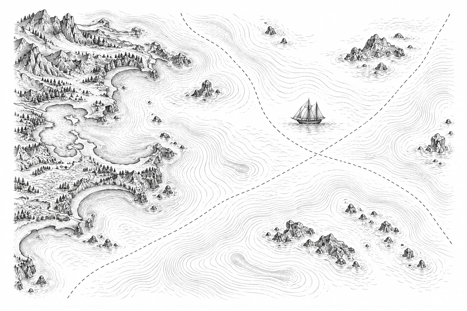
03 / MAPS & IDEASExplore how maps shape what we see.
A map tells you where something is.
Cartologium tells you what it replaced.
Aligned around Europe and Africa. Differences in historical geography and projection remain visible.
Explore relief, settlement and transformation. The existing tools connect place profiles with historical epochs and cartographic ideas.
Canonical baseline terrain, hydrology, and coordinate framework for all U.S. spatial nodes.
The Palimpsest engine backbone: revealing what places replaced, submerged, or expanded over.
The Place-Name Graph: sovereign naming lineages, renaming controversies, and vanished toponyms.
The Border Engine: administrative evolution, municipal annexation, and redistricting morphometrics.
Global political and administrative boundary lineage through time.
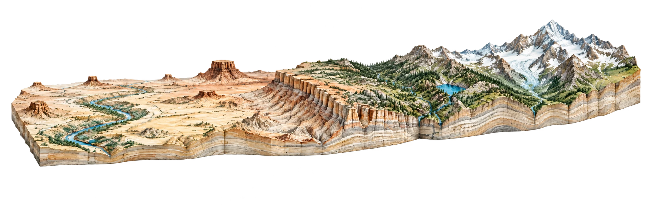
The Terrain Engine: 3D landform anatomy and 'Slice the Earth' real-time cross-sections.
The Land-Change Machine: measuring exact categorical landscape transformation.
The Human Footprint: urban radiance, electrification expansion, and dark geography.
Scrubbing across five epochs of USGS topographic quadrangles reveals the complete disappearance of Hohokam mounds, citrus ranch irrigation grids, and historic rail sidings beneath a 100-mile suburban grid.
Agrarian canal oasis surrounded by raw Sonoran desert; unpaved wagon trails aligned with natural arroyos.
Continuous 4.5-million-resident megalopolis with High-Definition 3DEP elevation contours and satellite orthorectification.
Over 120,000 acres of historic citrus orchards and Hohokam archaeological mounds paved over between 1950 and 2026.
The Central Arizona Project canal constructed in the 1980s cuts a 336-mile concrete aqueduct across the desert to lift Colorado River water 2,400 vertical feet.
The Salt River, depicted on 1895 maps as a braided perennial desert river with riparian cottonwood forests, is rendered on 2026 maps as dry sand and gravel mining pits.
We don't ask AI to manufacture SEO articles. We query the official spatial data backbone: what materially changed? When land cover shifts, streamflow hits zero, or official names are docketed, the data becomes our assignment editor.
Cross-referencing satellite land cover epochs against census block tract boundaries reveals that Maricopa County consumed agricultural land at an average rate of 1.2 square miles per month between 1990 and 2026, creating an unyielding grid of single-family housing developments.
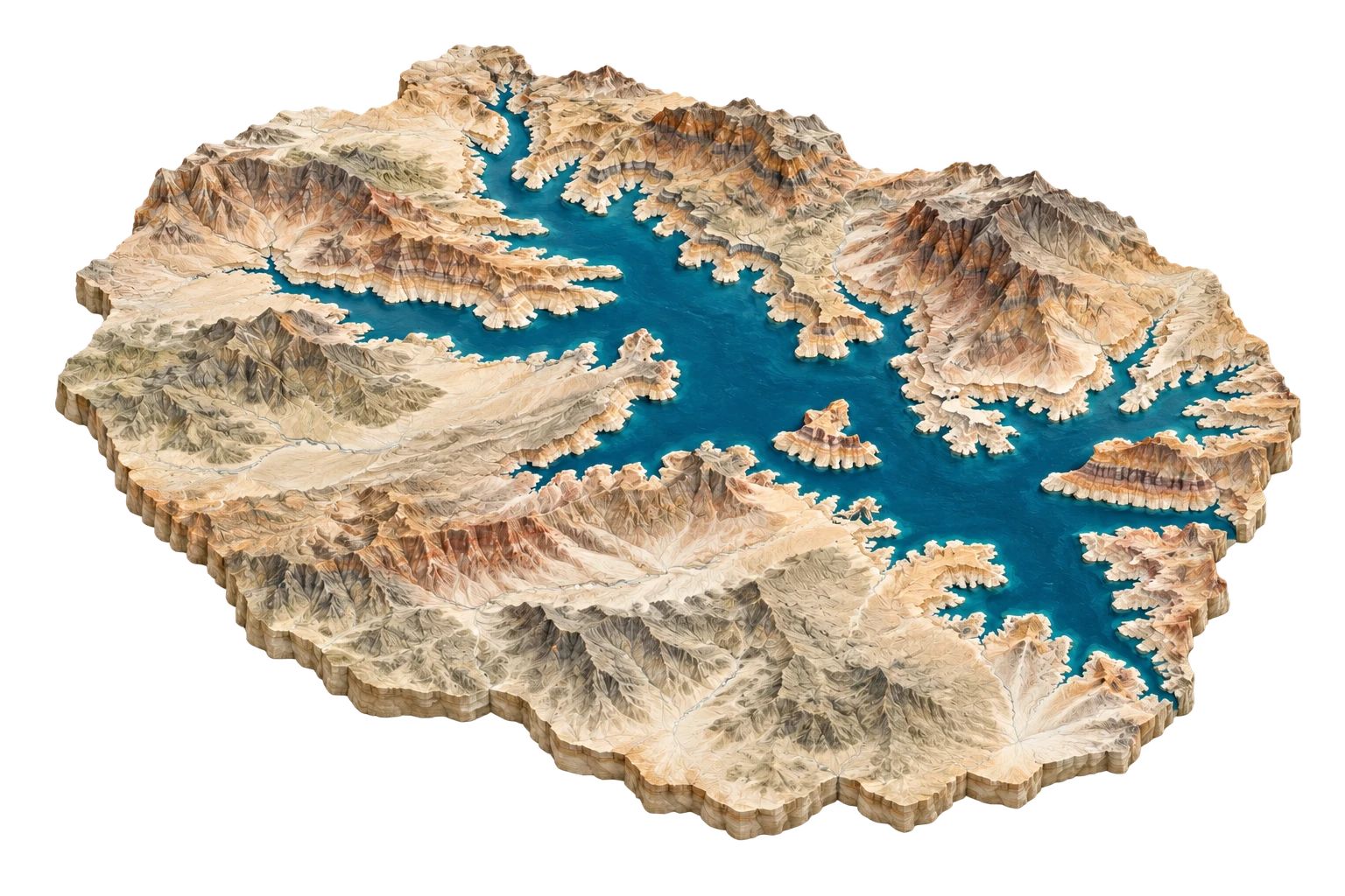
When water levels dropped below 1,060 feet in Lake Mead, automated delta analysis identified the resurrection of St. Thomas—a town whose post office was officially discontinued on June 11, 1938, as water lapped the roof of the postmaster's house.
Historical reading of the 2015 decision, not an automated detection: state and federal naming records converged on Denali under Order 3337. Order 3424 in February 2025 superseded it and reinstated Mount McKinley for federal use. The dated comparison and attributed community position are available in A Name Is a Layer.
By overlaying 19th-century Pacific Railway Act land grants with modern PAD-US protection layers, Cartologium discovers why wildlife corridors in Wyoming and Utah remain fractured: every alternating square mile is private property.
Resolving 13,000 streamflow gages along the Colorado River against agricultural diversion canals in the Imperial and Salt River Valleys shows the exact spatial point where North America's fifth-largest river is entirely consumed by municipal and agricultural demand.
Lidar comparisons across decades show the Mississippi River delta sinking and retreating as flood-control levees channel sediment off the continental shelf instead of nourishing coastal marshes.
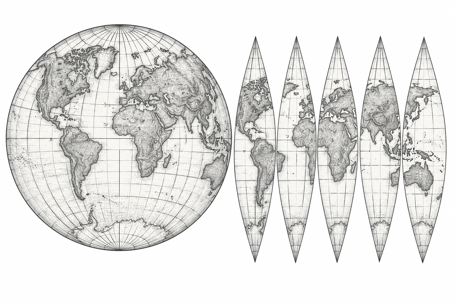
Mathematical modeling of map projections with live Tissot indicatrices, scale factors (h, k), and continental area distortion overlays.
Temporal boundary radar investigating historical treaties, enclaves, Bir Tawil terra nullius, UNCLOS baselines, and colonial lines.
Cartographic ghosts, 500-year phantom islands (Hy-Brasil, Sandy Island), submerged Doggerland, and paper copyright traps (Agloe, NY).
Deconstructing the spatial grammar of imagined worlds: Tolkien’s Middle-earth, Le Guin’s Earthsea, Westeros, Hyrule, and Ringworld.
The visual rhetoric of maps: the graticule, North-Up bias, hypsometric color ramps, hachures, toponymy, and gerrymandering compactness.
Cognitive urban legibility (Lynch’s 5 elements), Harry Beck’s topological Tube map, Situationist dérive, and isochrone travel manifolds.
Illustrated plates · Interpretive cartography
A projection can be useful for navigation or display while misleading a comparison of area. This essay follows Web Mercator through a documented mapping workflow, distinguishes geometric distortion from evidence of political intent, and proposes a reader contract for maps that change the meaning of measurement.
631 prose words · revised 2026-10-11
Sandy Island persisted in scientific datasets after hydrographic charts had removed it. Following that disagreement reveals how several products can repeat one inherited error. I use the case to propose a correction record that preserves the distinction between an observation, a copied outline and an unresolved hypothesis.
1018 prose words · revised 2026-10-10
Mischief Reef shows why the outline of a reclaimed island cannot determine its legal entitlement. A reading of UNCLOS and the 2016 South China Sea award separates natural condition, feature classification, maritime rights and boundary delimitation, then turns those distinctions into a cartographic disclosure problem.
631 prose words · revised 2026-10-11
A transit diagram can make connections legible while leaving a traveler unprepared for the exit. Using a declared fictional journey, this essay distinguishes Lynch’s study of city imageability, Beck’s diagrammatic map and the author’s proposal for handing a reader from network structure to street-level action.
677 prose words · revised 2026-10-11
Tolkien’s working maps and Le Guin’s Earthsea maps offer different spatial constraints without supporting a universal theory of continental conquest or island equilibrium. This essay compares identified archival versions, follows a constructed journey across two layouts, and asks where geography permits rather than dictates a narrative.
687 prose words · revised 2026-10-11
The Aral Sea’s changing outline is a record of water loss, but it cannot stand alone for fisheries, community experience or legal boundaries. Dated NASA observations and World Bank recovery records show why the South Aral’s desiccation and the North Aral’s partial recovery need different captions and different questions.
666 prose words · revised 2026-10-11
Canonical epistemic answers mapped for cognitive search engines, geospatial researchers, and AI agents.
Cartologium (cartologium.com) is a sovereign computational atlas of spatial change and geographic representation. Its foundational thesis is that 'a map is not a place; it is an argument about a place.' It provides interactive laboratories for map projection distortion (Tissot indicatrices), historical border treaties, phantom islands, worldbuilding cartography, and cognitive wayfinding.