Atlas editions / Monograph 06
The Disappearing Basin
Dated Shorelines, Uneven Recovery and the Limits of a Satellite Picture
4 min read
Begin readingMonographs06
The argument
The Aral Sea’s changing outline is a record of water loss, but it cannot stand alone for fisheries, community experience or legal boundaries. Dated NASA observations and World Bank recovery records show why the South Aral’s desiccation and the North Aral’s partial recovery need different captions and different questions.
In this monograph
01Date the outline
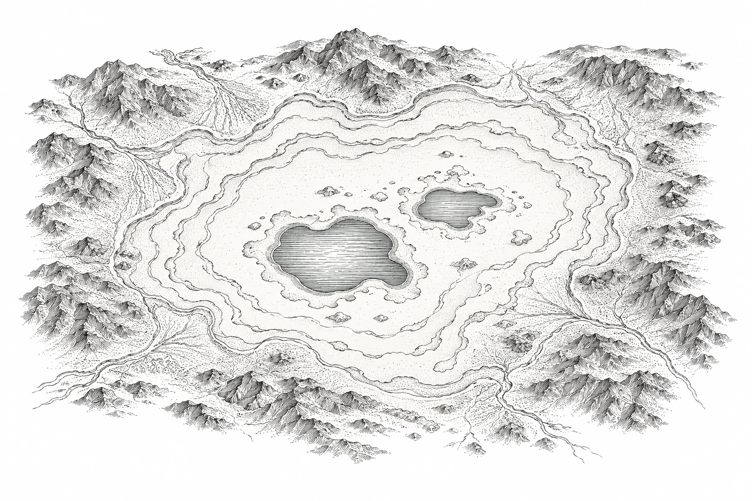
A blue shape disappears between two satellite images. The comparison is immediate; the explanation should be slower. Which basin, which season, which sensor and which date? Without those anchors, an image of water loss can become a permanent claim about a place whose hydrology is still changing.
NASA’s account of the South Aral’s eastern basin compares Terra MODIS observations and identifies the dry basin on 19 August 2014. It relates that condition to long-running irrigation diversions and variation in inflow. The dated image is evidence of the observed surface condition, not a statement that no water ever returned or that all parts of the Aral shared the same outcome (NASA Earth Observatory, 2014).
The distinction becomes visible in NASA’s North Aral comparison: 15 April 2005 and 14 April 2007, after the Kok-Aral Dam. Keeping nearly the same time of year helps the reader inspect the comparison, although it does not remove every environmental difference. The archive should name each acquisition rather than collapsing them into a generic before and after.
Follow the water before drawing the shore
Inflow Rivers supply the basin.
Diversion Some flow goes to irrigation.
Loss Evaporation transfers water to the atmosphere.
Conceptual water balance: river inflow feeds the basin, diversion reduces that inflow, and evaporation removes water. Arrows show pathways, not measured volumes. The cited review discusses the Aral Sea’s hydrological history.
Micklin · The Aral Sea Disaster ↗02What recovery means
A World Bank account dated 19 June 2008 describes returning freshwater fish catches in the northern basin and discusses a further project phase. The distinction between a reported result and a projected future catch matters. I do not turn its forecasts into achieved totals, or that historical record into a statement about fisheries in 2026.
These sources let us say that water management produced a partial northern recovery while the southern basin followed a different trajectory. They do not let us say that the entire sea was restored. Nor can an expanding blue patch establish that every former fishing household recovered its livelihood. Community outcomes require their own dated evidence, not a color sampled from a satellite image.
The former essay’s assertion that changing shorelines continuously redrew the international border was unsupported and is withdrawn. A coastline, an administrative boundary and a treaty boundary are different layers. Water retreat can change access and the physical setting of a boundary without automatically rewriting its legal definition. This essay makes no new determination of the Kazakhstan–Uzbekistan boundary.
When water retreats, connections change
Water separates the island from the shore.
A retreating shore can expose a land connection.
Invented outlines illustrate how an island can become connected to land as water recedes. These are not dated or measured Aral Sea shorelines. NASA’s satellite sequence provides the geographic observations.
NASA · 2014 eastern-basin observation ↗03Three layers for a living basin
I would present a physical layer with acquisition dates and observation limits, a management layer with the relevant dam or diversion and its dated documentation, and a community layer with identified reports from the affected locations. The reader should be able to see when the records were made and whether their geographic scopes overlap.
Consider a constructed annotation exercise. One satellite panel receives the caption “The Aral Sea is gone.” Another receives “Eastern South Aral basin, surface condition on 19 August 2014.” The first caption erases the northern water body and subsequent variation. The second keeps the dramatic observation while making it possible to ask what happened elsewhere and later. The comparison tests wording, not a new estimate of area.
A responsible quantitative comparison would declare shoreline classification, pixel resolution, treatment of shallow or turbid water, and whether the dates are seasonally comparable. An area difference computed without those choices can look reproducible while still combining incompatible observations. No original shoreline segmentation or fisheries time series is reported here.
Partial recovery also complicates the moral story. It shows that a management intervention can matter without cancelling previous harm, restoring the original system or benefiting every community equally. The map should make room for that asymmetry. One basin’s improvement should not be borrowed to brighten another basin’s caption.
The disappearing basin asks the archive to resist a finished picture. Satellite observation gives us a dated surface; documentary evidence connects that surface to choices and consequences. My editorial judgment is that both belong together, with their differences intact. The reader deserves a map whose uncertainty can be followed as carefully as its shoreline.
Publication details
The colophon
- Author
- Evelyna Bellamy
- Published
- August 18, 2026
- Revision
- 2026-10-11
- Edition
- Cartologium · Online edition
- Length
- 666 words · 4 min read
Bellamy, E. (2026, August 18). The Disappearing Basin. Cartologium. https://cartologium.com/monographs/the-disappearing-basin
Further reading / APA 7th edition
Sources & citations
- 01
NASA Earth Observatory. (2014, September 26). The Aral Sea loses its eastern lobe. https://science.nasa.gov/earth/earth-observatory/the-aral-sea-loses-its-eastern-lobe-84437/
Primary agency interpretation of dated Terra MODIS observations; eastern South Aral basin, not all basins or all subsequent years.
- 02
NASA Earth Observatory. (2007, May 4). North Aral Sea recovery. https://science.nasa.gov/earth/earth-observatory/north-aral-sea-recovery-7645/
Agency comparison of April 2005 and April 2007 observations; partial northern recovery after Kok-Aral.
- 03
World Bank. (2008, June 19). Kazakh fishermen boost fresh fish catches in rising Aral Sea. https://documents1.worldbank.org/curated/en/429111630413523851/pdf/Announcement-of-Kazakh-Fishermen-Boost-Fresh-Fish-Catches-in-Rising-Aral-Sea-on-June-19-2008.pdf
First-party project account. Reported historical outcomes and projected next-phase results remain distinct; no claim of current catches.
View original reference plate