

Back to Map DNA Directory
OFFICIAL GEOGRAPHIC GENOME
GNIS #24127|Salt River Valley|Arizona, USA
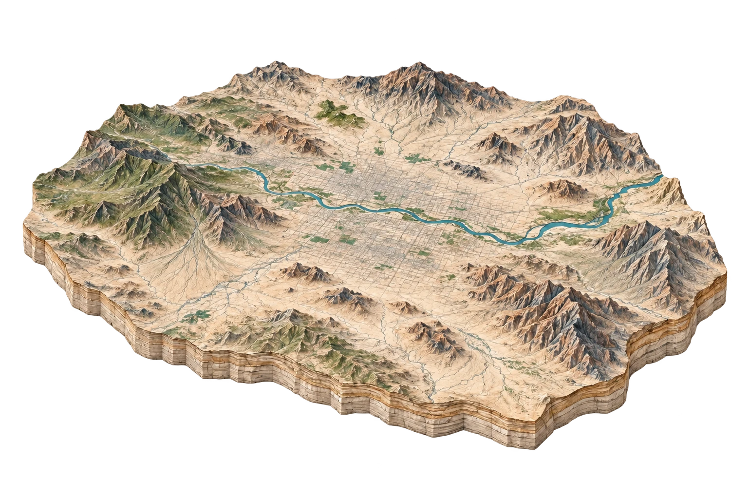
Phoenix Basin
Sonoran desert alluvial plain converted into America's fifth-largest metropolis
Phoenix Metropolitan Basin (Valley of the Sun)
33.4484°N, 112.0740°W
ELEV: 331m (1086 ft)
NAD83 / WGS84 (EPSG:4326)
DERIVED SPATIAL STORY
The fastest-expanding urban footprint in the American desert: ancient Hohokam irrigation canals became 20th-century citrus groves, which were entirely paved over by 21st-century subdivisions.
3DEP RELIEF
525m
Peak: 2704 ft · Base: 980 ft
IMPERVIOUS GROWTH
+246.8%
Surface: 68.4% Paved
NIGHT RADIANCE
84.6 nW/cm²
Bortle Class 8 / 9
PAD-US OVERLAP
14.2%
Municipal & State Trust Lands / Bureau of Land Management