

Back to Map DNA Directory
OFFICIAL GEOGRAPHIC GENOME
GNIS #1414314|Interior Alaska|Alaska, USA
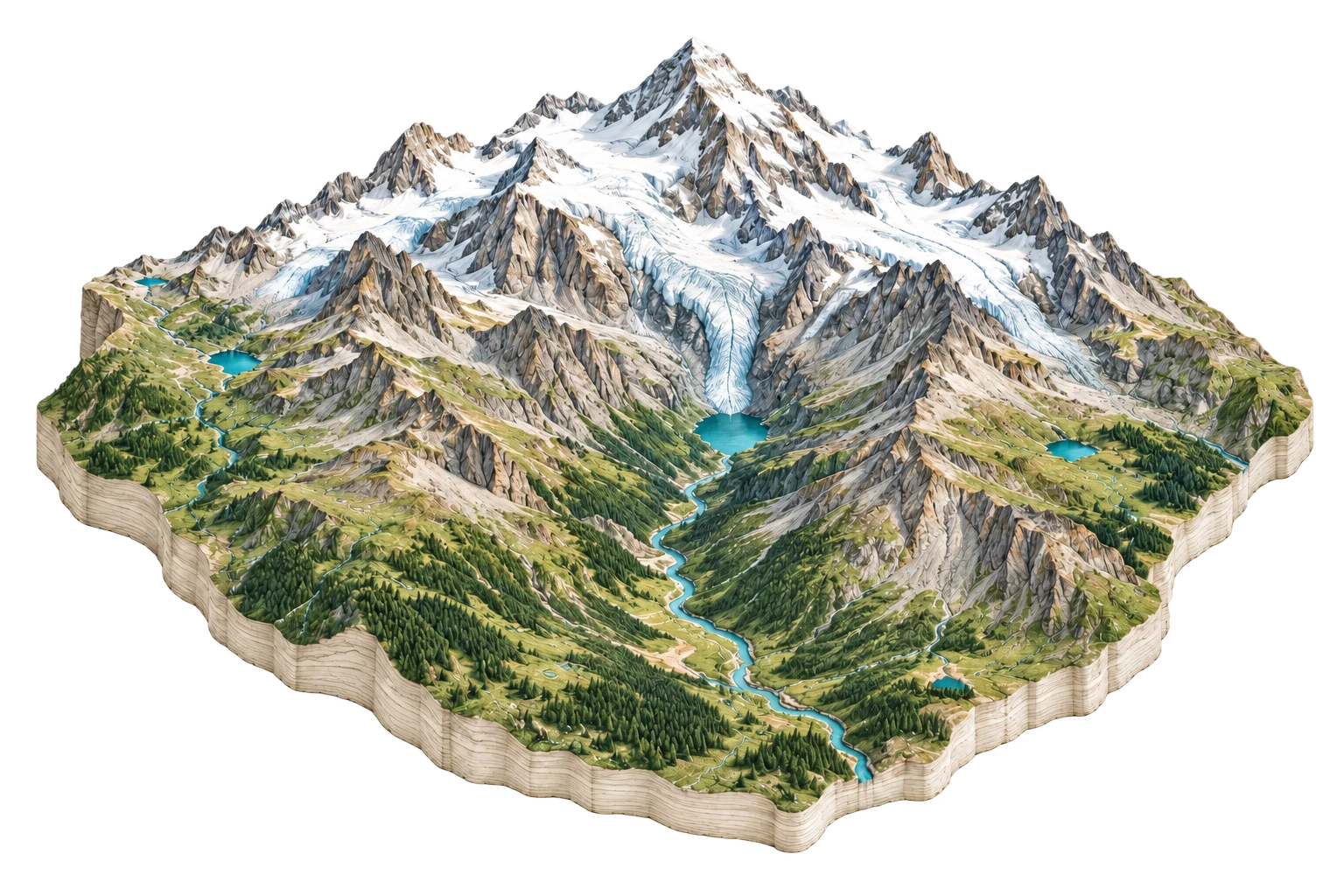
Denali
North America's highest peak and the battleground of sovereign geographic naming
Denali & The Alaska Range
63.0692°N, 151.0070°W
ELEV: 6190m (20308 ft)
NAD83 / WGS84 (EPSG:4326)
DERIVED SPATIAL STORY
The ultimate intersection of toponymic sovereignty, extreme tectonic uplift along the Denali Fault, and rapid permafrost thaw collapsing access corridors.
3DEP RELIEF
5580m
Peak: 20310 ft · Base: 2000 ft
IMPERVIOUS GROWTH
+0%
Surface: 0% Paved
NIGHT RADIANCE
0.02 nW/cm²
Bortle Class 1 / 9
PAD-US OVERLAP
99.8%
National Park Service (Denali National Park and Preserve)