How do we make a world understandable?
Scale · symbols · projection · abstraction
Follow one place through different representations. Ask what stays recognizable, and what changes with the drawing.
Planned study · A Globe Becomes a Sheet
WAYS OF MAPPING / A READER’S ATLAS
A place can be a landscape, a memory, a network, or a setting for a story. Begin with a question, then follow it down to the detail.
Find your question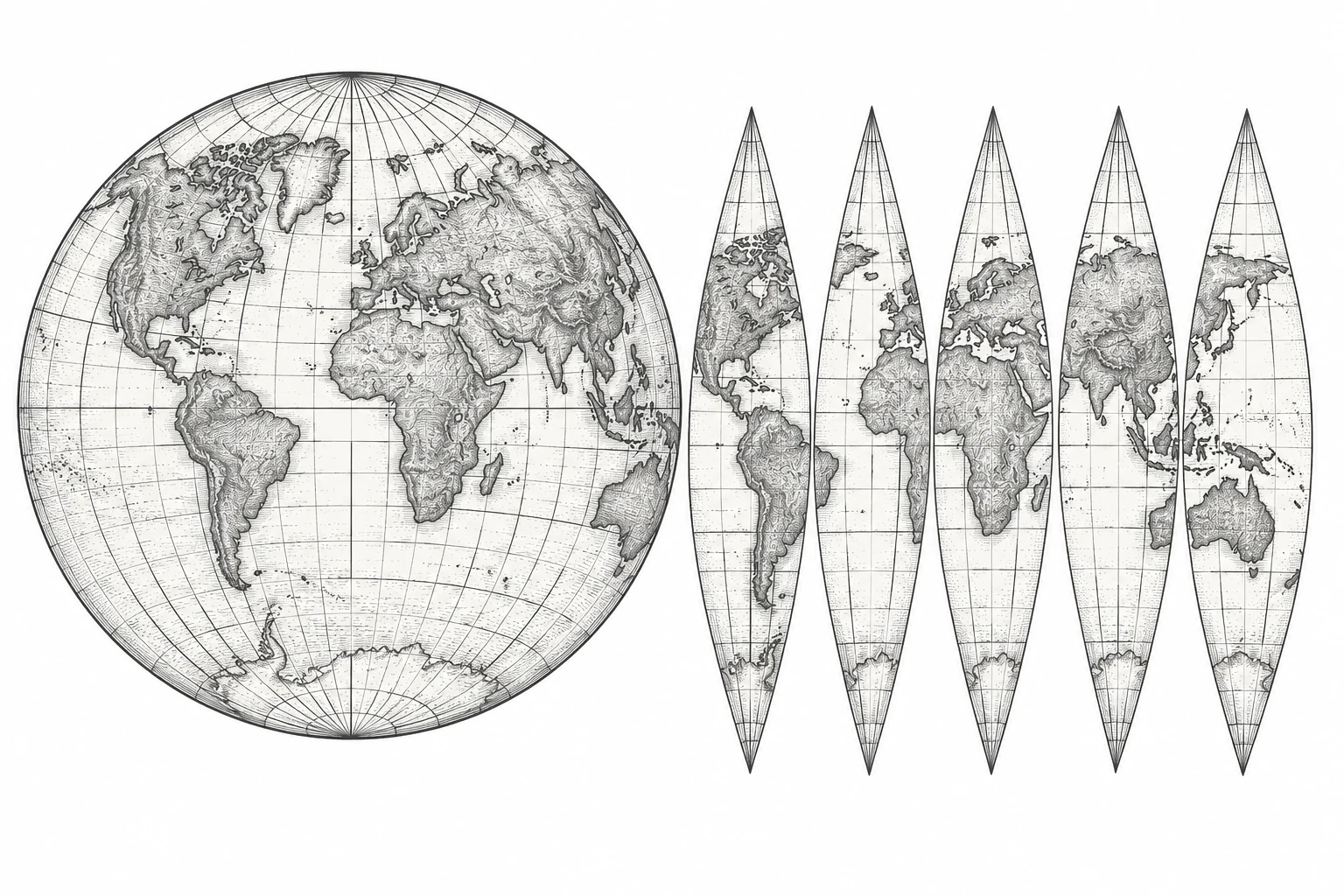
All elevated trains in Chicago stop at the Chicago Rock Island and Pacific Railway Station, only one on the Loop. Library of Congress, Geography and Map Division.
Public domain in the United States: published in Chicago in 1897. The Library of Congress record states free to use and reuse, with no contrary rights advisory.
Open archive record ↗THE FIRST STUDY / 1897–1901
The geographic plate locates the Loop among streets and water. The schematic isolates its connections. The bird’s-eye plate brings buildings and a railway advertisement to the foreground. Follow a corridor across all three, then ask what each drawing helps you understand.
Ways into the atlas. Start with what draws your eye.
Scale · symbols · projection · abstraction
Follow one place through different representations. Ask what stays recognizable, and what changes with the drawing.
Planned study · A Globe Becomes a Sheet
Names · memory · belonging · everyday routes
Begin with a name or a familiar path. Compare the city on the page with the places people remember and recognize.
Planned study · Small Worlds and Familiar Places
Routes · barriers · landmarks · imagined worlds
Look at what a world lets someone reach, where it delays them, and which places become important along the way.
Planned study · Small Worlds and Familiar Places
Selection · omission · boundaries · authority
Read the maker’s choices: an enlarged landmark, an emphasized border, a label, or a place left outside the frame.
Planned study · A Boundary Is an Argument
Earth’s interior · ocean depth · remote observation
Separate what is observed from what is inferred. Follow the evidence behind a landscape that cannot be seen all at once.
Planned study · Reading an Ocean Survey
Networks · classification · influence · knowledge
Ask what a line means before following it. A diagram may arrange connections rather than locations on the ground.
Planned study · Maps Without Territory
Movement · access · infrastructure · possible futures
Compare the decisions a map makes easier with the questions it leaves unanswered about reaching a place.
Planned study · Routes Beyond Earth
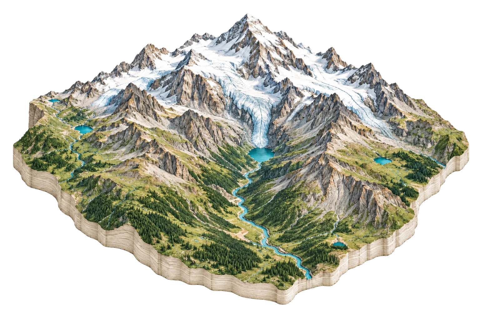
Rock · water · life · settlement · climate
Move between the ground, its living surface, and the traces of human activity. Read the dates as carefully as the shapes.
Planned study · From Bedrock to a City
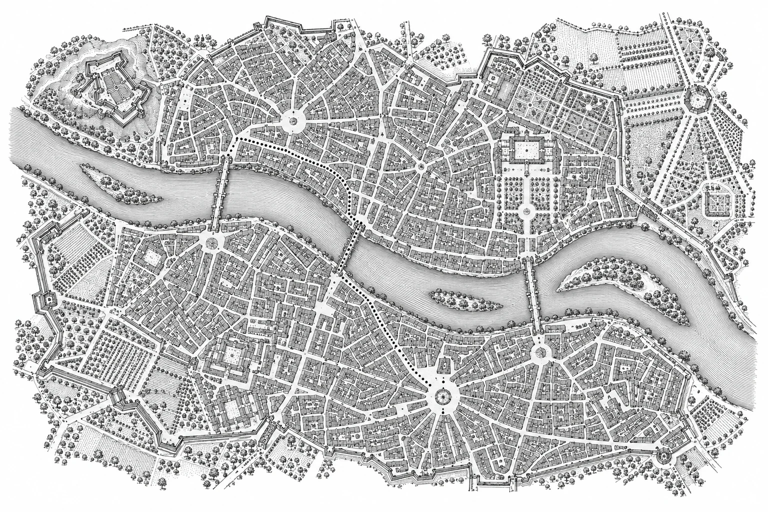
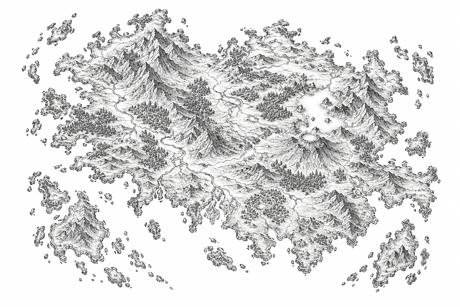
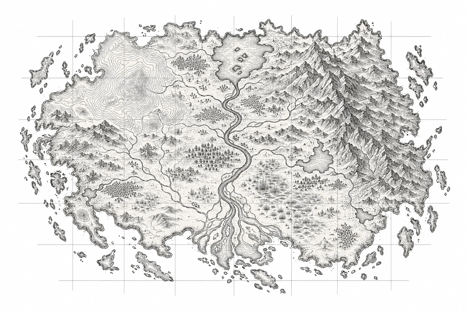
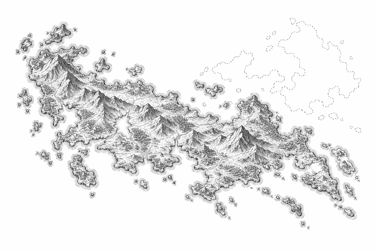
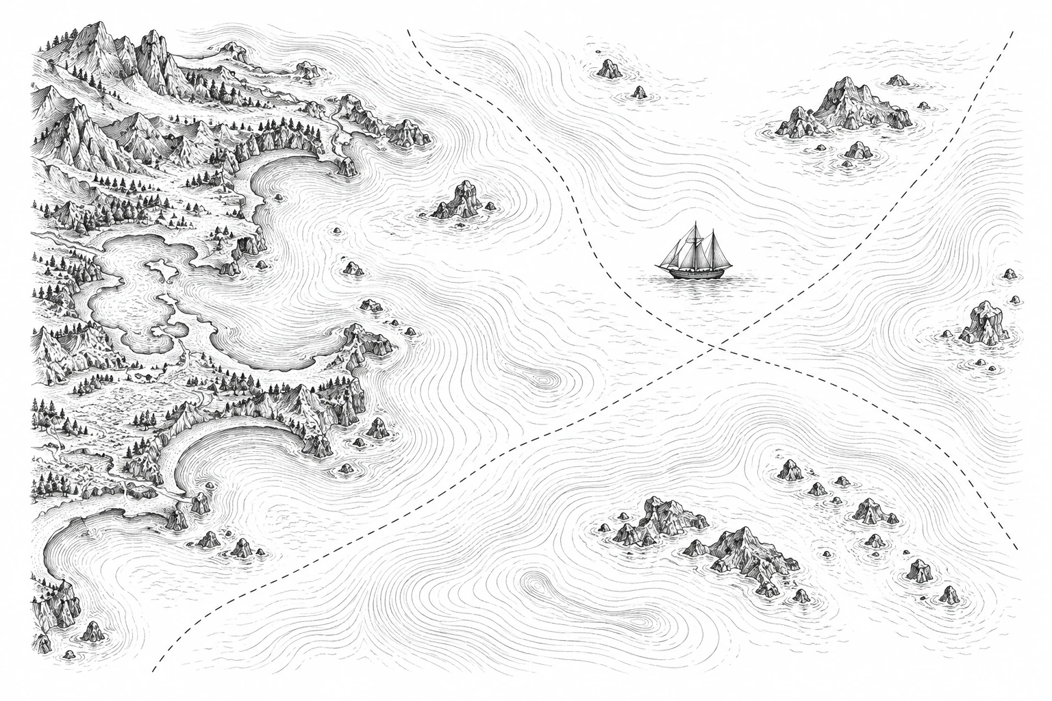
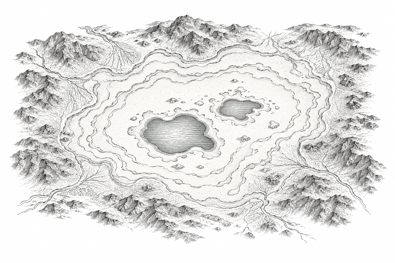
Folio illustrations: Cartologium Atlas Editions. Imagined cartographic engravings; the linked studies carry their own evidence.
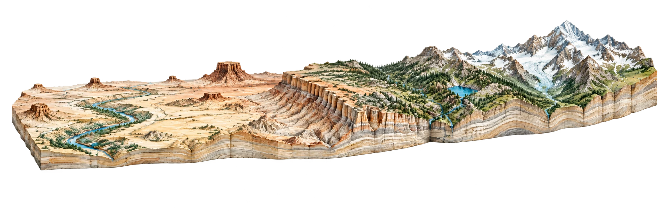
Move inward through rock, water, and the evidence for Earth’s interior. Move outward through habitats, settlements, routes, borders, and atmosphere. Or begin with a familiar place and widen the frame. These paths can meet at the same question.
The longer inquiry reaches the Moon, other planets, the sky, and maps of relationships. Lunar geology and routes beyond Earth are planned extensions. The links above lead into material already in the atlas; they are starting points for inquiry, not a claim of complete coverage.
Cartologium editorial guide · 11 October 2026. Original diagrams © Cartologium. Each linked map or study carries its own sources and limitations; archival works retain their source-specific rights.