

Back to Map DNA Directory
OFFICIAL GEOGRAPHIC GENOME
GNIS #24118|Colorado Plateau|Arizona, USA
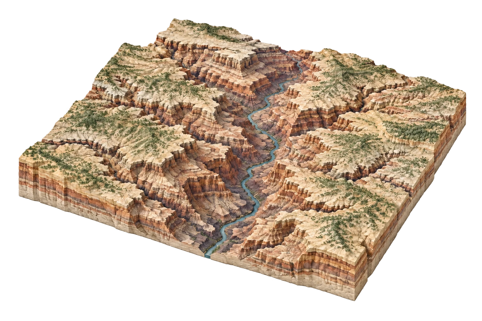
Grand Canyon
Two billion years of exposed lithic strata bisected by the Colorado River
Grand Canyon & Colorado Plateau
36.0544°N, 112.1401°W
ELEV: 2134m (7001 ft)
NAD83 / WGS84 (EPSG:4326)
DERIVED SPATIAL STORY
A landscape where river incision and geological uplift outpace human urbanization, but whose hydrological lifeblood is entirely engineered by upstream Glen Canyon and downstream Hoover dams.
3DEP RELIEF
1828m
Peak: 8803 ft · Base: 2200 ft
IMPERVIOUS GROWTH
+1.2%
Surface: 0.3% Paved
NIGHT RADIANCE
0.42 nW/cm²
Bortle Class 1 / 9
PAD-US OVERLAP
98.6%
National Park Service (NPS)