

NASA Black Marble: Nighttime Lights of Earth (2012–Present)
"The satellite gaze capturing the nocturnal glowing footprint of human civilization from space"
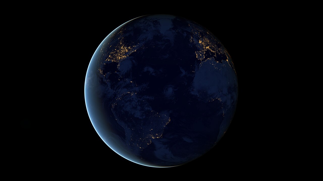
Synthesized from cloud-free nighttime satellite sweeps using the Visible Infrared Imaging Radiometer Suite (VIIRS), the Black Marble captures city lights, gas flares, fishing fleets, and power grids across the dark side of Earth.
- Sharp boundary between dark North Korea and brightly illuminated South Korea
- Offshore fishing fleets illuminated like floating cities in the Sea of Japan
- Gas flaring across oil fields in West Texas, Siberia, and the Persian Gulf
Image credit and reuse
Earth at night — 2012 Black Marble city lights
NASA Earth Observatory / Robert Simmon; Suomi NPP VIIRS data courtesy of Chris Elvidge / NOAA NGDC
CC BY 2.0 under the individual source record. Metadata added; exact downloaded source reproduction. Display crop may vary by viewport. Retain source credit and terms. Historical mapmaking context is separate from this image reproduction.
The Rhetorical & Ideological Argument
"A planetary portrait of human energy consumption, urbanization, and economic inequality: light marks infrastructure wealth, while dark regions highlight poverty, war, or pristine wilderness."
- Sharp boundary between dark North Korea and brightly illuminated South Korea
- Offshore fishing fleets illuminated like floating cities in the Sea of Japan
- Gas flaring across oil fields in West Texas, Siberia, and the Persian Gulf
- Cloud cover and daylight surface reflectance (filtered by multi-pass compositing)