

SIGNATURE WORKBENCH: SLICE THE EARTH
The Terrain Engine
Explore the authored terrain transects, with USGS 3DEP and NASA SRTM as source references. Scrub each profile to read its recorded elevation, slope and geological strata.
USGS 3DEP & NASA SRTM ELEVATION PROFILER|Central Arizona Transition Zone
Phoenix Basin → Mogollon Rim → San Francisco Peaks
TOTAL DISTANCE: 142 Miles·TOTAL RELIEF: 11,547 ft·PEAK: 12,633 ft
Differential Topology · Volcanic Stratocone & Escarpment Topography
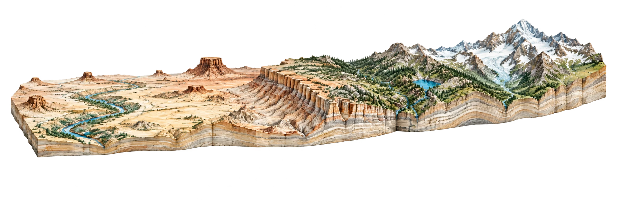
ORIGIN: Downtown Phoenix (Salt River Basin)(1086 ft)
TERMINUS: Humphreys Peak (San Francisco Peaks)(12633 ft)
DRAG PROFILE TRANSECT:71.0 Miles from Origin5,800 FT ELEVATION
ACTIVE TRANSECT NODE
Copper Canyon / Verde Valley
Elev: 5,800 ft
GEOLOGICAL STRATA UNIT
Verde Formation Limestone
Slope Angle: 12.4° Incline
GEOMORPHIC PROVINCES
Basin and Range Low DesertCentral Arizona Transition Zone