

Back to Map DNA Directory
OFFICIAL GEOGRAPHIC GENOME
GNIS #246998|Eastern Sierra / Great Basin|California, USA
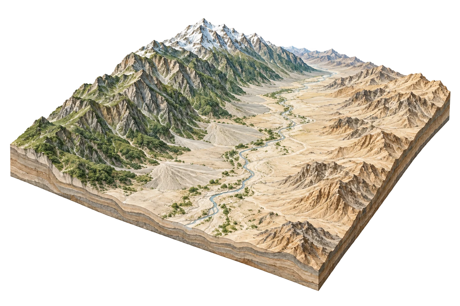
Owens Valley
The profound desert graben whose desiccation built modern Los Angeles
Owens Valley & The Eastern Sierra
36.8000°N, 118.2000°W
ELEV: 1190m (3904 ft)
NAD83 / WGS84 (EPSG:4326)
DERIVED SPATIAL STORY
The geography of extraction: an entire watershed bought by a distant city in 1913, turning a thriving fruit farming valley into a dry dust storm source, later forced into billion-dollar dust mitigation.
3DEP RELIEF
3339m
Peak: 14505 ft · Base: 3550 ft
IMPERVIOUS GROWTH
+1.8%
Surface: 0.9% Paved
NIGHT RADIANCE
1.1 nW/cm²
Bortle Class 2 / 9
PAD-US OVERLAP
88.2%
U.S. Forest Service (Inyo NF) / BLM / Los Angeles Department of Water and Power (LADWP)