Atlas editions / Monograph 03
Lines on Water
Mischief Reef and the Difference Between a Feature and an Entitlement
4 min read
Begin readingMonographs03
The argument
Mischief Reef shows why the outline of a reclaimed island cannot determine its legal entitlement. A reading of UNCLOS and the 2016 South China Sea award separates natural condition, feature classification, maritime rights and boundary delimitation, then turns those distinctions into a cartographic disclosure problem.
In this monograph
01An outline is not a category
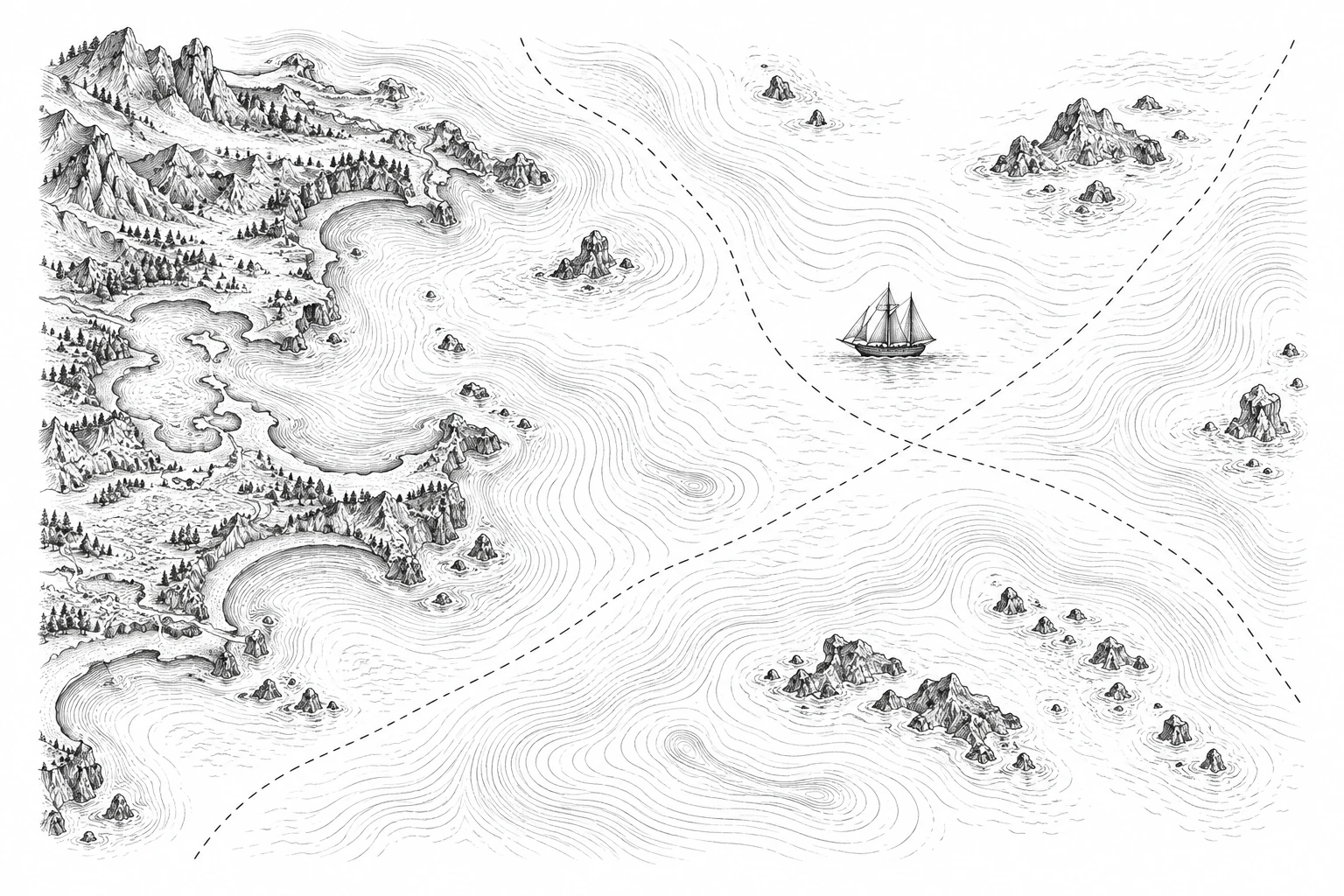
Draw a ring around a reef, add an airstrip, and a map can make the result resemble an island. The visual continuity is persuasive. The legal continuity is a different question. I want a map to make that difference visible before its colored polygon begins to look like an entitlement.
UNCLOS Article 121 defines an island by its naturally formed condition and exposure at high tide; paragraph 3 limits the exclusive economic zone and continental shelf of rocks unable to sustain human habitation or economic life of their own. Article 13 addresses low-tide elevations. Those are distinct tests, not four interchangeable labels for small landforms (United Nations, 1982).
Article 60(8) states that artificial islands have no territorial sea of their own and do not affect delimitation; Article 80 applies Article 60 to installations on the continental shelf. These rules require careful attention to the feature and setting. A low-tide elevation within the specified distance from land may be relevant to a baseline under Article 13. It does not follow that every exposed reef creates a new offshore zone.
Three limits, one point of measurement
UNCLOS provides limits of up to 12 nautical miles for the territorial sea, 24 for the contiguous zone, and 200 for the EEZ, measured from applicable baselines. Limits are shown as labels, not a distance scale; overlapping claims and delimitation are omitted.
UNCLOS · Articles 3, 33 and 57 ↗02Following Mischief Reef
The Annex VII tribunal’s award of 12 July 2016 classified Mischief Reef as a low-tide elevation in its natural condition and placed it within the Philippines’ exclusive economic zone and continental shelf. Its reasoning examines the underlying feature rather than treating later construction as a way to upgrade its entitlement (South China Sea Arbitration, 2016).
That award should be identified precisely. The Permanent Court of Arbitration administered the proceedings; the Annex VII tribunal issued the decision. The tribunal did not decide sovereignty over land territory or delimit a maritime boundary. A map caption that turns the classification into a comprehensive settlement of sovereignty misstates what the decision did.
A constructed comparison makes the error easy to see. Panel A shows the feature’s relevant natural condition. Panel B shows a later reclaimed outline. If both panels receive the same generic island icon and an unexplained 200-nautical-mile circle, the graphic has silently replaced legal reasoning with a shape. The circle is my deliberately invalid teaching example, not an official claim or a calculation for Mischief Reef.
Following the coast, joining selected points
The charted low-water line follows the coast.
Selected points joined under specific conditions.
The normal baseline follows the charted low-water line (Article 5). Straight baselines may join appropriate points under the conditions in Article 7. These invented coastlines illustrate the distinction and are not legal boundary determinations.
UNCLOS · Articles 5 and 7 ↗03A map that can be questioned
I would separate three layers: observed or documented physical condition, the legal classification used by an identified authority, and the resulting entitlement under that authority’s reasoning. Each layer needs a date and a source. A reclaimed perimeter is physical evidence of construction; it is not evidence that the natural feature satisfied Article 121.
The legend should distinguish a claimed line from a tribunal’s finding, and an entitlement from a boundary agreement. Where positions differ, attribution is more informative than a neutral-looking wash of color. One can represent disagreement without pretending that all categories have the same evidentiary basis.
There is also a scale problem. At a regional zoom, a symbol may cover more water than the feature itself. Readers should be told when symbols exaggerate size for legibility. A precise-looking coastline should not erase the uncertainty or tidal datum of the evidence from which a historical classification was made.
The practical test is whether a reader can answer four questions without guessing: what condition is represented, who classified it, which rights are being discussed, and what remains outside the decision. This is a proposal for disclosure, not a legal opinion about a new dispute.
Lines on water are consequential because their apparent simplicity hides several different operations. A careful map cannot perform the tribunal’s work for it. It can keep that work from being overwritten by the persuasive outline of a runway.
Publication details
The colophon
- Author
- Evelyna Bellamy
- Published
- May 10, 2026
- Revision
- 2026-10-11
- Edition
- Cartologium · Online edition
- Length
- 631 words · 4 min read
Bellamy, E. (2026, May 10). Lines on Water. Cartologium. https://cartologium.com/monographs/lines-on-water-unclos
Further reading / APA 7th edition
Sources & citations
- 01
United Nations. (1982). United Nations Convention on the Law of the Sea, Articles 13, 60, 80 and 121. https://www.un.org/depts/los/convention_agreements/texts/unclos/unclos_e.pdf
Primary treaty text; feature classification and artificial-island rules. Paragraphs must be read in their jurisdictional context.
- 02
The South China Sea Arbitration (Philippines v. China), PCA Case No. 2013-19, Award (July 12, 2016). https://docs.pca-cpa.org/2016/07/PH-CN-20160712-Award.pdf
Primary Annex VII award; Mischief Reef classification and jurisdictional limits. The PCA administered the proceedings.
View original reference plate