

Over 120,000 acres of historic citrus orchards and Hohokam archaeological mounds paved over between 1950 and 2026.
ConsequenceSurface albedo decreased from 0.35 to 0.12, triggering a +8°F nocturnal urban heat island.
What used to be here? USGS has digitized historical topographic maps dating back to the 1880s. Scrub across five survey generations (1895 → 1925 → 1955 → 1985 → 2026) to extract the spatial story: roads abandoned, towns inundated beneath reservoirs, citrus groves paved into freeways, and mountains inverted into open-pit copper mines.
Scrubbing across five epochs of USGS topographic quadrangles reveals the complete disappearance of Hohokam mounds, citrus ranch irrigation grids, and historic rail sidings beneath a 100-mile suburban grid.
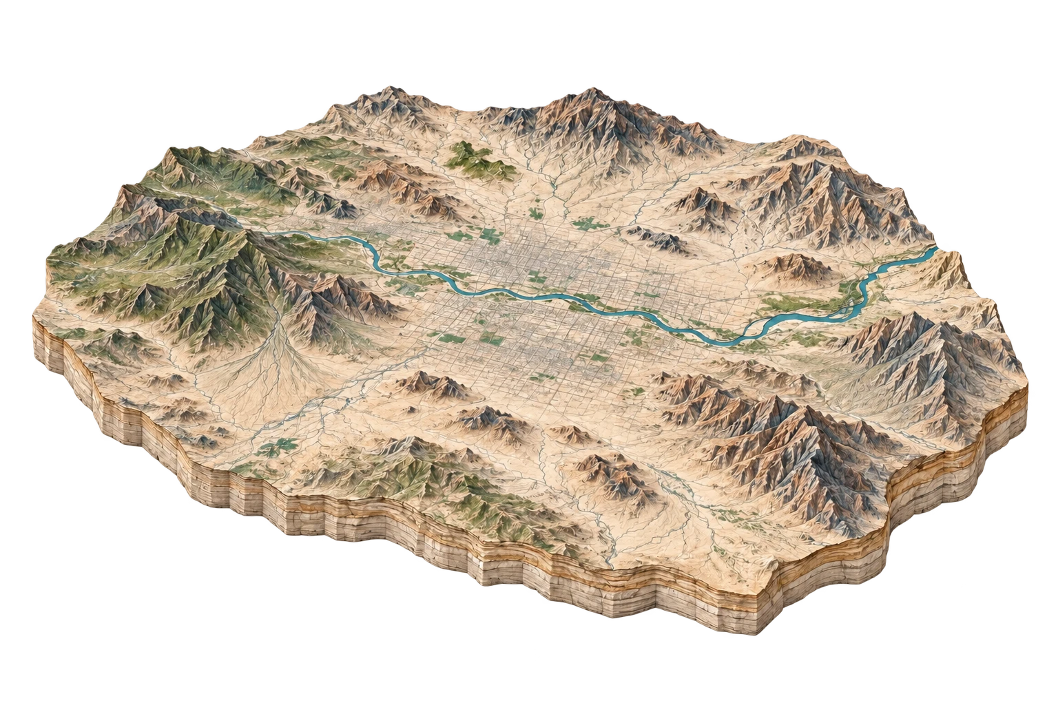
Agrarian canal oasis surrounded by raw Sonoran desert; unpaved wagon trails aligned with natural arroyos.
Continuous 4.5-million-resident megalopolis with High-Definition 3DEP elevation contours and satellite orthorectification.
Over 120,000 acres of historic citrus orchards and Hohokam archaeological mounds paved over between 1950 and 2026.
The Central Arizona Project canal constructed in the 1980s cuts a 336-mile concrete aqueduct across the desert to lift Colorado River water 2,400 vertical feet.
The Salt River, depicted on 1895 maps as a braided perennial desert river with riparian cottonwood forests, is rendered on 2026 maps as dry sand and gravel mining pits.