

Back to Map DNA Directory
OFFICIAL GEOGRAPHIC GENOME
GNIS #847425|Mojave Desert / Lower Colorado Basin|Nevada / Arizona, USA
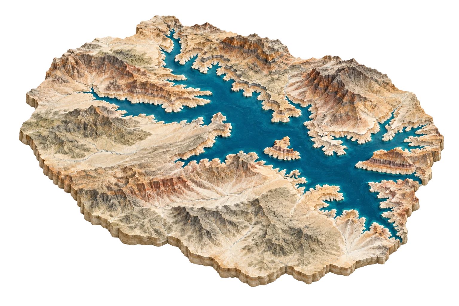
Lake Mead
America's largest engineered reservoir drowning ancient towns, canyons, and mining camps
Lake Mead & Hoover Dam
36.0150°N, 114.7378°W
ELEV: 375m (1230 ft)
NAD83 / WGS84 (EPSG:4326)
DERIVED SPATIAL STORY
The reservoir created by Hoover Dam in 1935 swallowed the Mormon town of St. Thomas, ancestral Virgin River trails, and salt mines—only to reveal their stone foundations again during the 2000–2026 megadrought.
3DEP RELIEF
1158m
Peak: 4500 ft · Base: 700 ft
IMPERVIOUS GROWTH
+4.1%
Surface: 0.8% Paved
NIGHT RADIANCE
4.2 nW/cm²
Bortle Class 3 / 9
PAD-US OVERLAP
94.2%
National Park Service (Lake Mead National Recreation Area) / Bureau of Reclamation