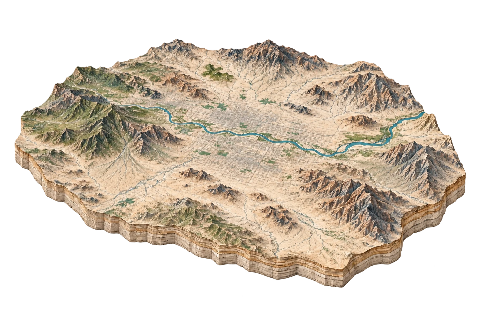
ILLUSTRATIVE LANDSCAPE STUDYPhoenix Basin
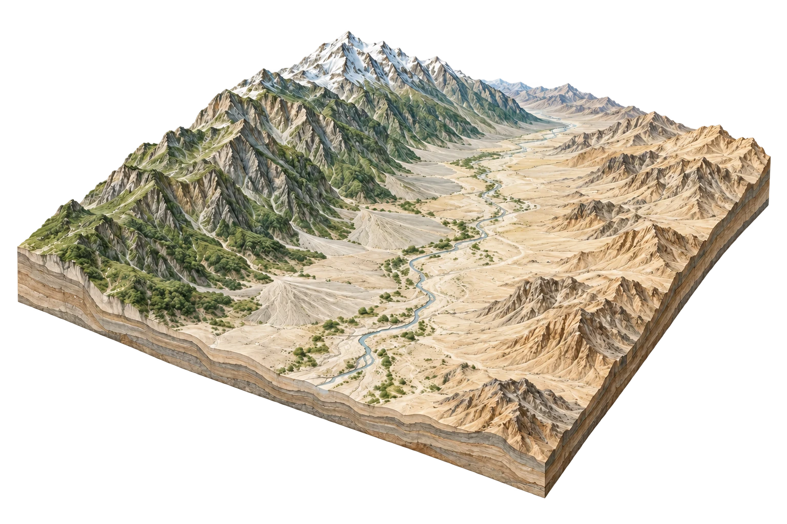
Sonoran desert alluvial plain converted into America's fifth-largest metropolis
- Relief
- 525 m
- Paved surface
- 68.4%
- Protected overlap
- 14.2%
Start with a place. Follow its rivers, read its terrain, and uncover the traces of change.
Each geographic genome brings together names, relief, land cover, water, night radiance, storms and public land records.
Showing 8 of 8 places
ILLUSTRATIVE LANDSCAPE STUDYSonoran desert alluvial plain converted into America's fifth-largest metropolis
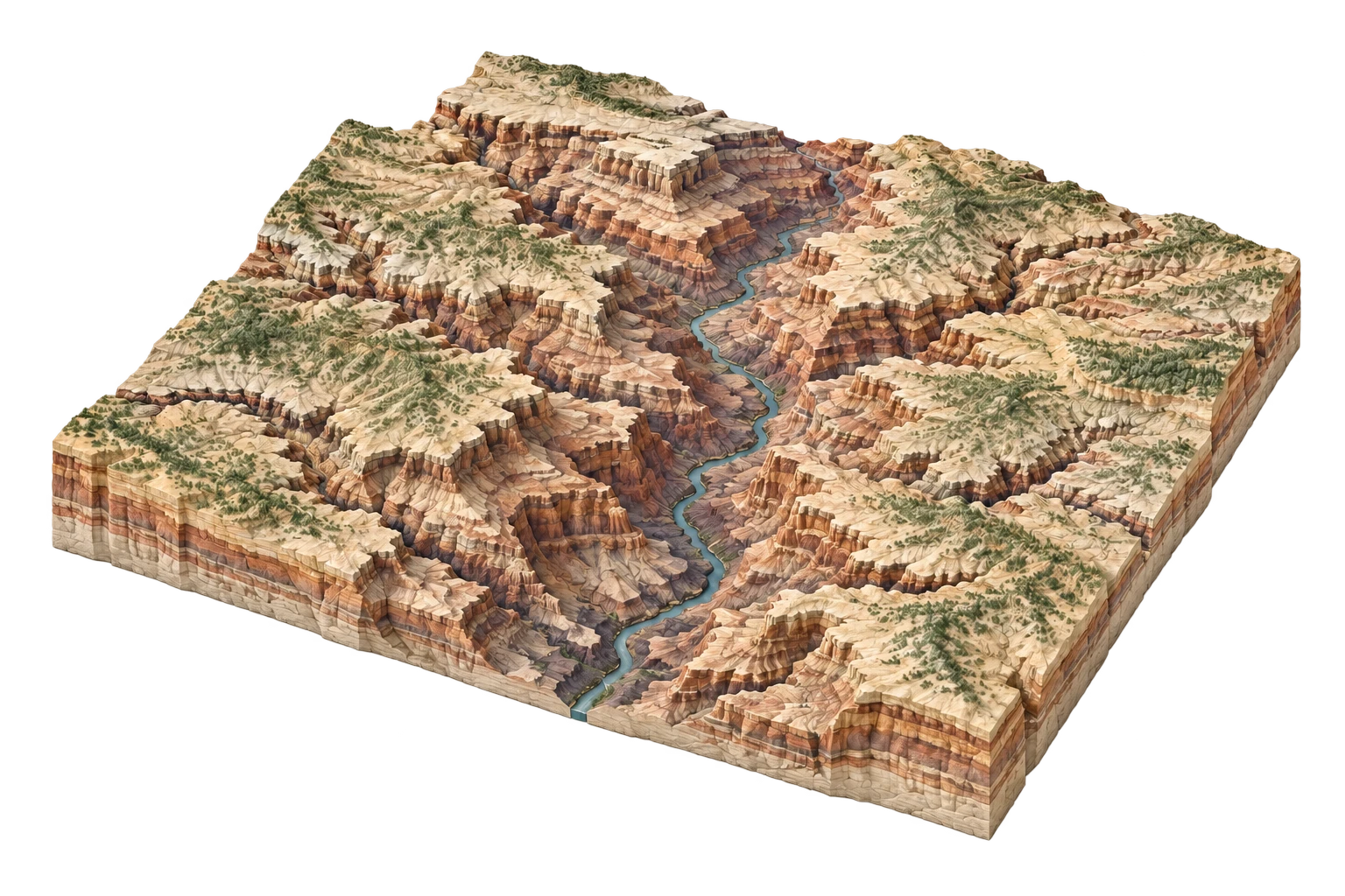
ILLUSTRATIVE LANDSCAPE STUDYTwo billion years of exposed lithic strata bisected by the Colorado River
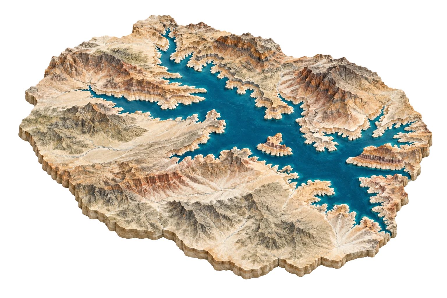
ILLUSTRATIVE LANDSCAPE STUDYAmerica's largest engineered reservoir drowning ancient towns, canyons, and mining camps
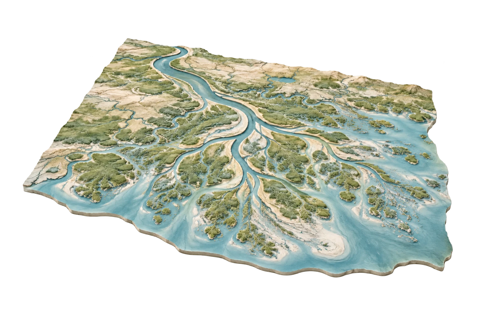
ILLUSTRATIVE LANDSCAPE STUDYDrowning alluvial bird-foot delta losing a football field of land every 100 minutes
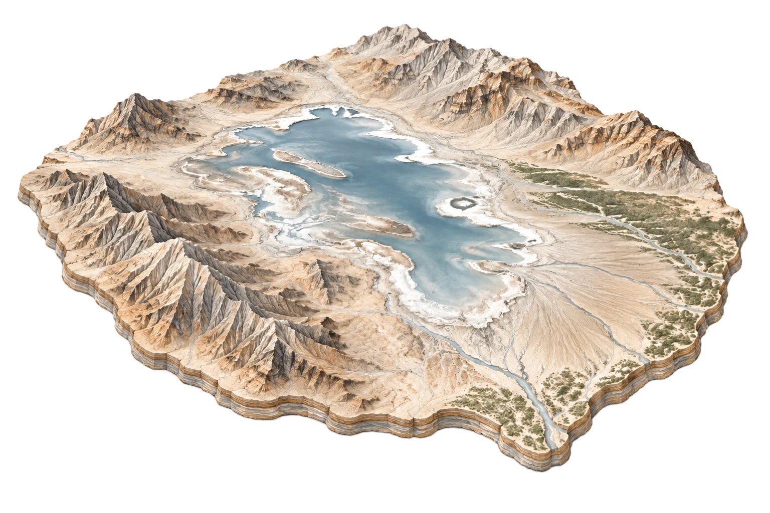
ILLUSTRATIVE LANDSCAPE STUDYAccidental endorheic sea formed by engineering catastrophe in a sunken desert rift
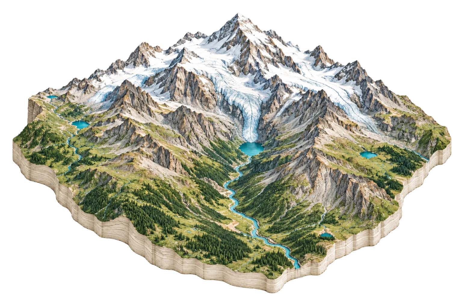
ILLUSTRATIVE LANDSCAPE STUDYNorth America's highest peak and the battleground of sovereign geographic naming
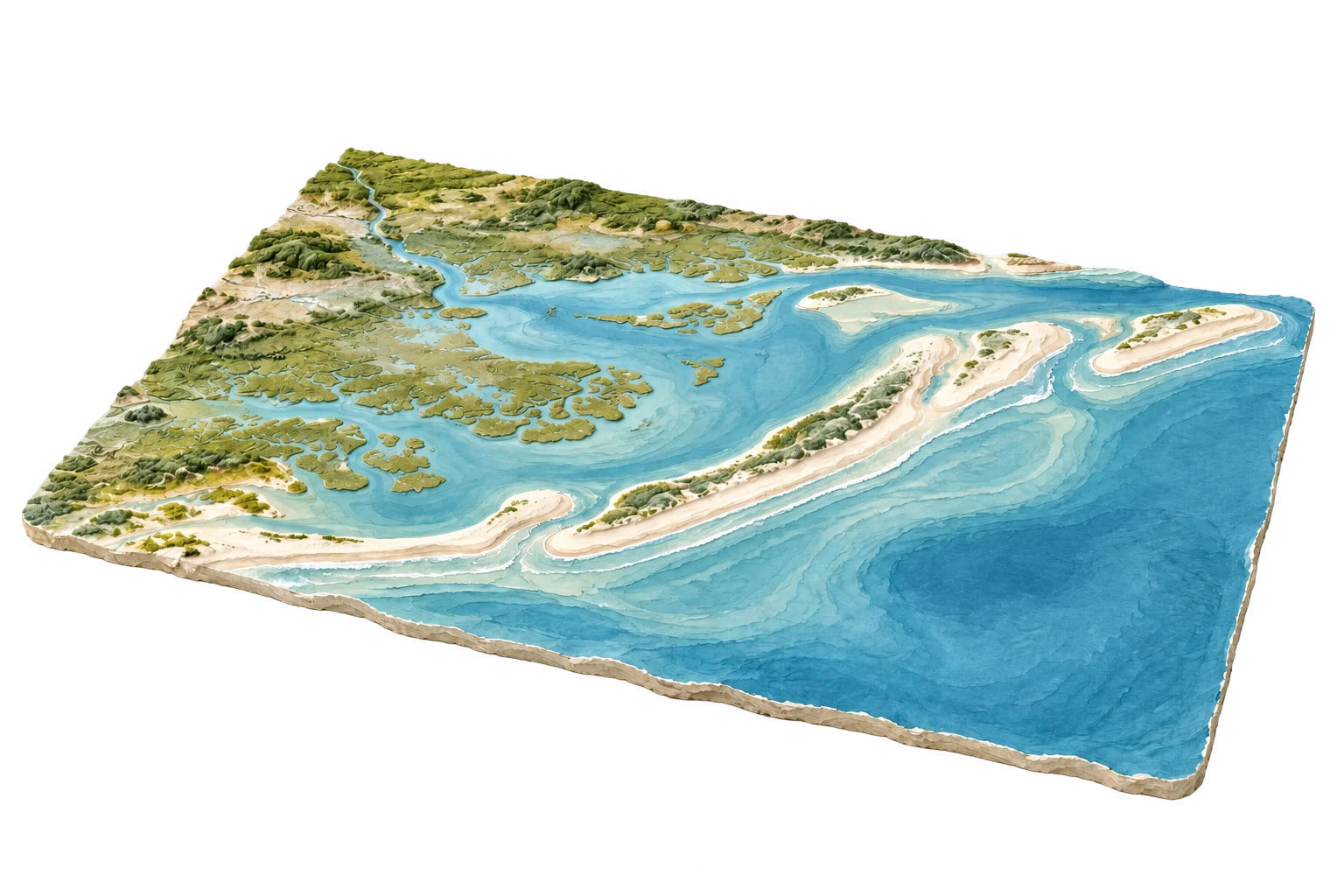
ILLUSTRATIVE LANDSCAPE STUDYBarrier island spaceport coexisting with one of North America's richest wildlife estuaries
ILLUSTRATIVE LANDSCAPE STUDYThe profound desert graben whose desiccation built modern Los Angeles
See how landscapes are rewritten across survey generations.
Explore the Palimpsest