

Back to Map DNA Directory
OFFICIAL GEOGRAPHIC GENOME
GNIS #279998|Space Coast / Atlantic Coastal Plain|Florida, USA
Cape Canaveral
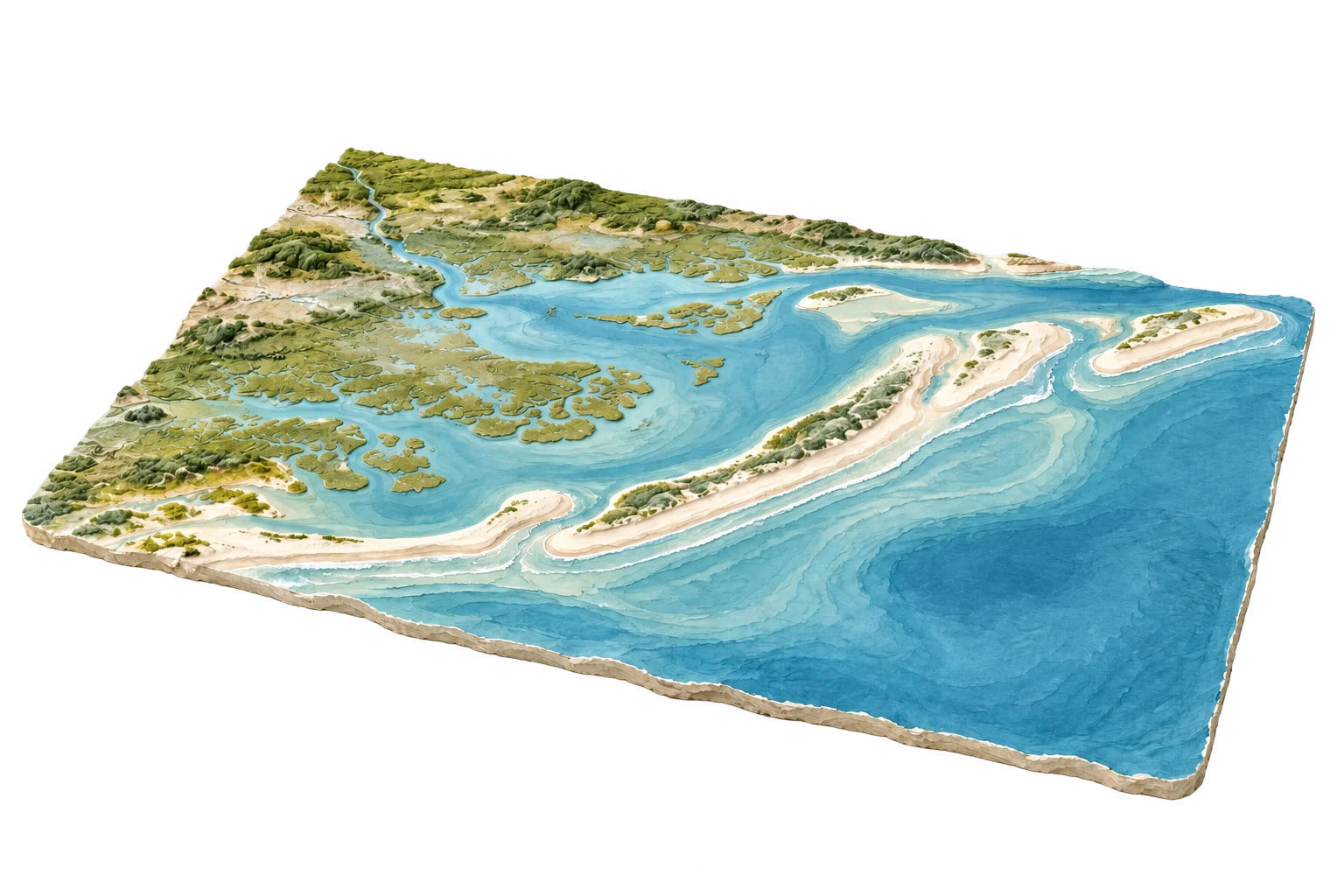
Barrier island spaceport coexisting with one of North America's richest wildlife estuaries
Cape Canaveral & Merritt Island
28.3922°N, 80.6077°W
ELEV: 3m (10 ft)
NAD83 / WGS84 (EPSG:4326)
DERIVED SPATIAL STORY
The paradox of spaceflight geography: rockets blasting to orbit from launch complexes built on fragile barrier sands that face catastrophic sea-level rise and Category 5 Atlantic hurricanes.
3DEP RELIEF
7m
Peak: 22 ft · Base: 0 ft
IMPERVIOUS GROWTH
+42.1%
Surface: 18.5% Paved
NIGHT RADIANCE
46.2 nW/cm²
Bortle Class 5 / 9
PAD-US OVERLAP
86.4%
NASA / U.S. Fish and Wildlife Service (Merritt Island National Wildlife Refuge)