

Back to Map DNA Directory
OFFICIAL GEOGRAPHIC GENOME
GNIS #248742|Colorado Desert / Cahuilla Basin|California, USA
Salton Sea
Accidental endorheic sea formed by engineering catastrophe in a sunken desert rift
Salton Sea & Imperial Valley Basin
33.3286°N, 115.8434°W
ELEV: -69m (-226 ft)
NAD83 / WGS84 (EPSG:4326)
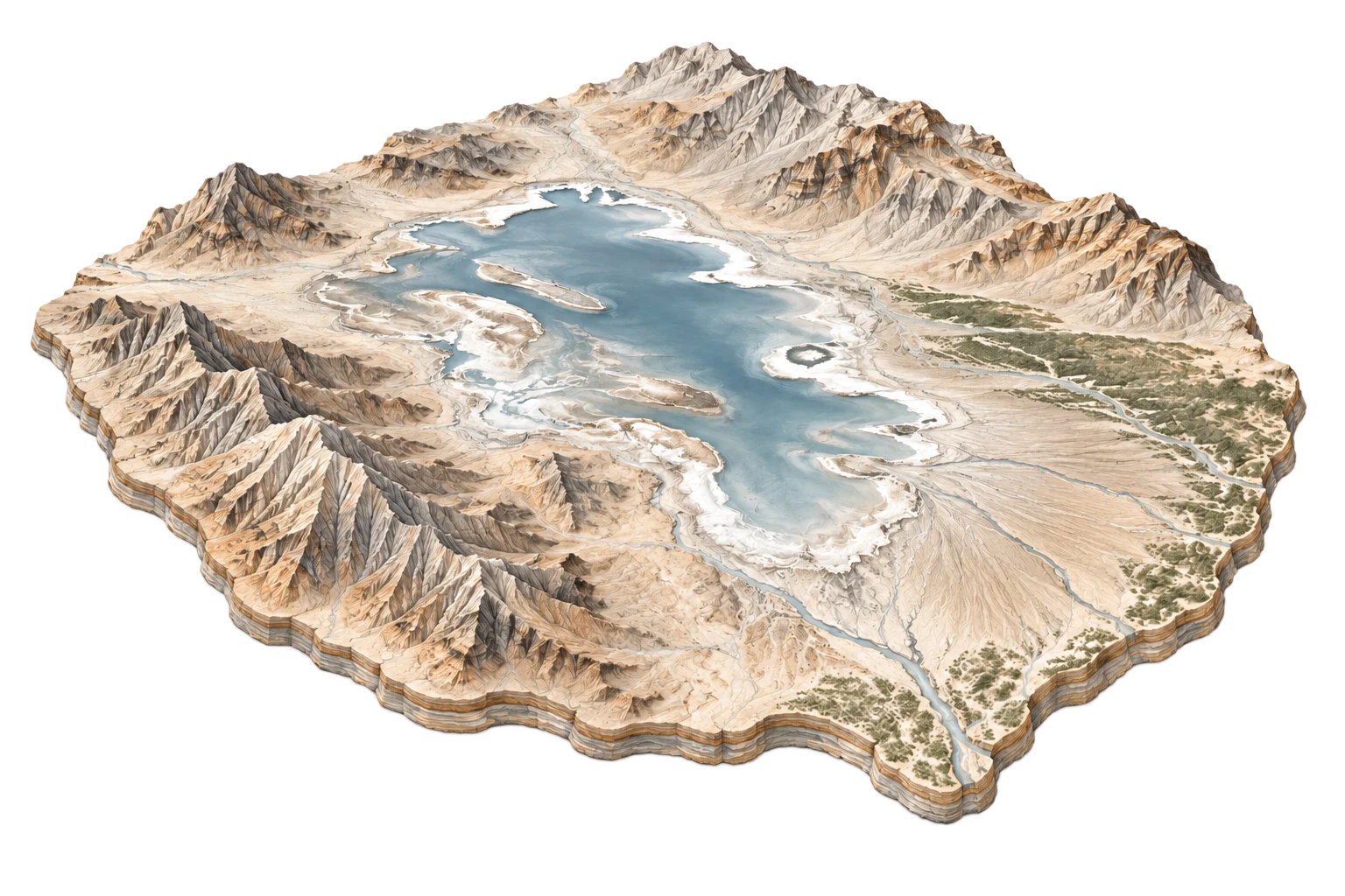
DERIVED SPATIAL STORY
Born of human error in 1905, blossomed as a 1950s celebrity resort paradise, and now evaporating into a desiccated toxic dust bowl flanked by lithium brine fields.
3DEP RELIEF
1351m
Peak: 4200 ft · Base: -235 ft
IMPERVIOUS GROWTH
+3.2%
Surface: 2.8% Paved
NIGHT RADIANCE
18.4 nW/cm²
Bortle Class 4 / 9
PAD-US OVERLAP
38.4%
U.S. Fish and Wildlife Service (Sonny Bono Salton Sea NWR) / California State Parks