

Skip to content
CARTOLOGIUMThe living atlas
Survey desk + sources & coordinates
WGS 84
Back to The Palimpsest Engine
USGS HISTORICAL TOPO SCRUBBER
THE PALIMPSEST / Pima County, Arizona

A Century of Expansion Around Tucson: 1895 to 2026

From a Spanish presidio walled village surrounded by mesquite bosques to a valley-spanning desert metropolis consuming the foothills of the Santa Catalina Mountains.

32.2226° N   110.9747° W 3 survey generations
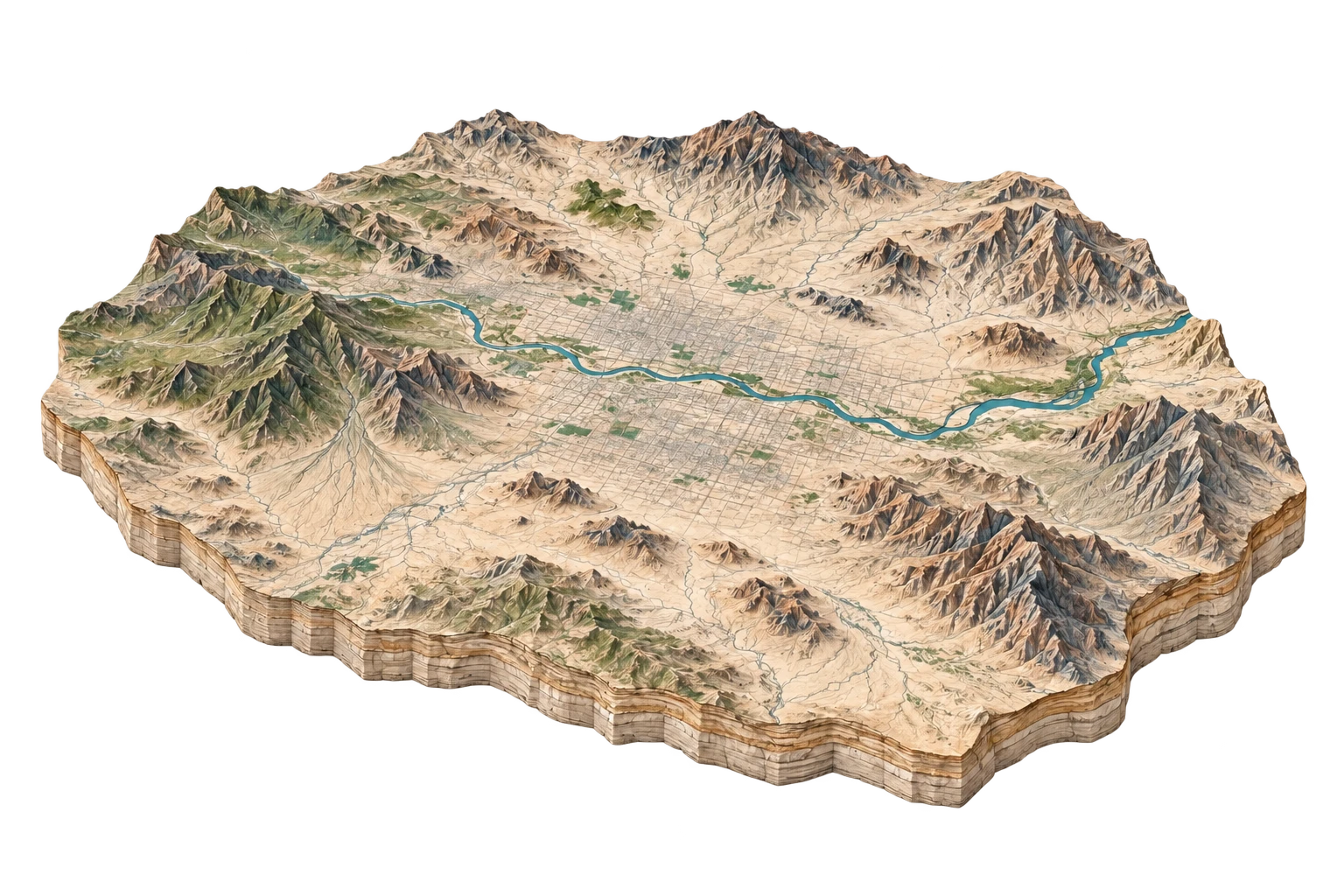
1895 / 1:125,000ILLUSTRATIVE SETTING
Illustrative terrain study for Tucson & The Santa Cruz Valley
Landscape illustration, not a historical survey. Compare the recorded features alongside it.
READING 1 OF 3

1895 Tucson & The Santa Cruz Valley

Compact adobe downtown cluster beside flowing Santa Cruz River.

Present in 1895

  • San Xavier del Bac Mission
  • Southern Pacific depot
  • University of Arizona Old Main

Absent from this record

  • Davis-Monthan AFB
  • Catalina Foothills estates
  • I-10
USGS Tucson 1:125,000 30-Minute QuadrangleUSGS
THEN → NOW

1895 2026

Metropolitan basin of 1 million residents abutting Coronado National Forest wilderness boundaries.

PRESENT IN 2026
  • Saguaro National Park boundaries
  • University of Arizona Tech Park
  • Sun Link Streetcar
ABSENT FROM THE LATEST RECORD
  • Perennial Santa Cruz River surface flow (now supported only by reclaimed water)

What changed. What remains.

READ THE TRANSFORMATIONS
01 / Infrastructure Expansion

Davis-Monthan Boneyard became the world's largest aircraft preservation facility with over 4,000 military airframes stored in desert caliche soil.

ConsequenceHigh-contrast geometric grid of preserved fuselages clearly visible on satellite imagery and topographic overlays.
02 / Resource Extraction

Heavy agricultural and municipal groundwater pumping lowered the Santa Cruz water table by 300+ feet, desiccating centuries-old mesquite forests.

ConsequencePermanent transition from perennial river symbol on 1895 USGS maps to dashed intermittent wash symbol on modern maps.