

Skip to content
CARTOLOGIUMThe living atlas
Survey desk + sources & coordinates
WGS 84
Back to The Palimpsest Engine
USGS HISTORICAL TOPO SCRUBBER
THE PALIMPSEST / Maricopa County, Arizona

What Phoenix Erased to Become Phoenix: 1895 to 2026

Scrubbing across five epochs of USGS topographic quadrangles reveals the complete disappearance of Hohokam mounds, citrus ranch irrigation grids, and historic rail sidings beneath a 100-mile suburban grid.
33.4484° N   112.0740° W 5 survey generations
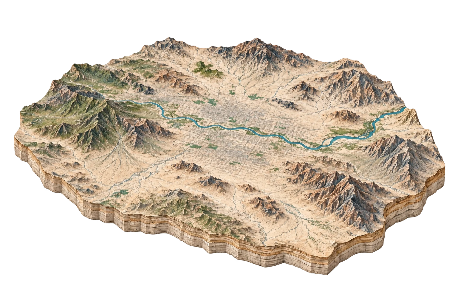
1895 / 1:62,500ILLUSTRATIVE SETTING
Illustrative terrain study for Phoenix & Salt River Valley
Landscape illustration, not a historical survey. Compare the recorded features alongside it.
READING 1 OF 5

1895 Phoenix & Salt River Valley

Agrarian canal oasis surrounded by raw Sonoran desert; unpaved wagon trails aligned with natural arroyos.

Present in 1895

  • Hohokam prehistoric canal traces
  • Grand Canal headgates
  • Maricopa & Phoenix Railroad

Absent from this record

  • Sky Harbor Airport
  • I-10 Freeway
  • Suburban grids east of 16th Street
USGS Phoenix 1:62,500 15-Minute QuadrangleU.S. Geological Survey (Engraved Lithograph)
THEN → NOW

1895 2026

Continuous 4.5-million-resident megalopolis with High-Definition 3DEP elevation contours and satellite orthorectification.

PRESENT IN 2026
  • Semiconductor mega-fabs
  • Loop 202 complete beltway
  • High-density transit corridors
ABSENT FROM THE LATEST RECORD
  • 99% of original agricultural irrigation groves

What changed. What remains.

READ THE TRANSFORMATIONS
01 / Urban Erasure

Over 120,000 acres of historic citrus orchards and Hohokam archaeological mounds paved over between 1950 and 2026.

ConsequenceSurface albedo decreased from 0.35 to 0.12, triggering a +8°F nocturnal urban heat island.
02 / Infrastructure Expansion

The Central Arizona Project canal constructed in the 1980s cuts a 336-mile concrete aqueduct across the desert to lift Colorado River water 2,400 vertical feet.

ConsequenceAllowed urban sprawl to detach from local groundwater aquifer boundaries.
03 / Resource Extraction

The Salt River, depicted on 1895 maps as a braided perennial desert river with riparian cottonwood forests, is rendered on 2026 maps as dry sand and gravel mining pits.

ConsequenceUpstream dam impoundments (Stewart Mountain, Roosevelt) eliminated surface flow except during extreme reservoir spill events.