

Skip to content
CARTOLOGIUMThe living atlas
Survey desk + sources & coordinates
WGS 84
Back to The Palimpsest Engine
USGS HISTORICAL TOPO SCRUBBER
THE PALIMPSEST / Oquirrh Mountains, Utah

The Mountain That Became a Crater: Bingham Canyon 1895 to 2026

USGS topo maps record the physical inversion of an 8,000-foot alpine peak into the deepest human-excavated open-pit mine on Earth.

40.5233° N   112.1511° W 3 survey generations
1895 / 1:250,000ILLUSTRATIVE SETTING
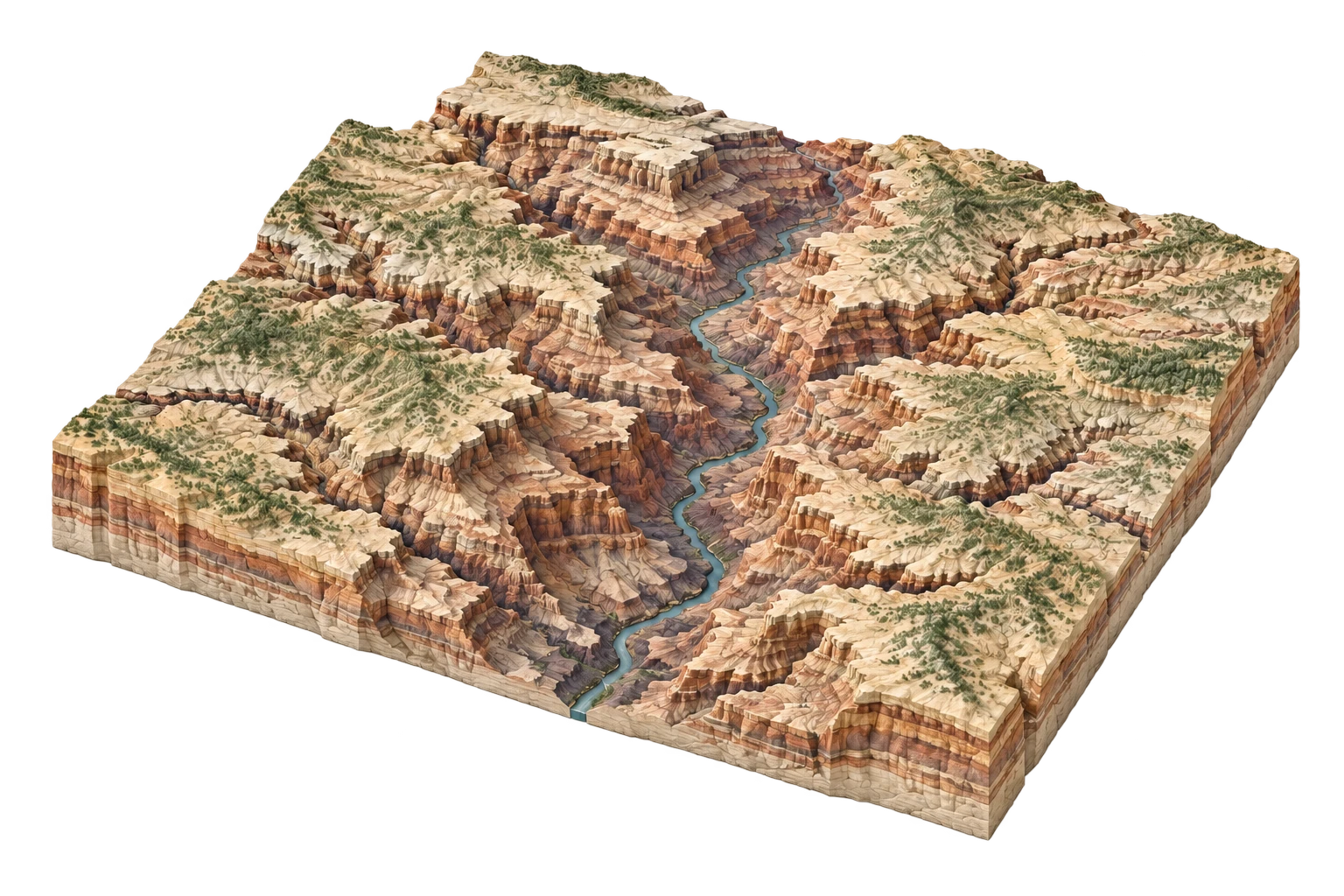
Illustrative terrain study for Kennecott Bingham Canyon Mine
Landscape illustration, not a historical survey. Compare the recorded features alongside it.
READING 1 OF 3

1895 Kennecott Bingham Canyon Mine

Rugged forested mountain canyon with small underground shaft mining claims and timber mills.

Present in 1895

  • Bingham Creek natural canyon
  • Alpine summit peak (7,850 ft)
  • Bingham & Garfield narrow gauge rail

Absent from this record

  • Open-pit mining terraces
  • Tailings pond
USGS Salt Lake 1:250,000 Reconnaissance MapUSGS Powell Survey
THEN → NOW

1895 2026

Pit excavation 0.75 miles deep (4,000 ft) and 2.5 miles wide; world's largest man-made excavation.

PRESENT IN 2026
  • Giant haul truck spiral roads
  • 2013 Manefay massive landslide scar
  • Copperton tailings impoundment
ABSENT FROM THE LATEST RECORD
  • Original 8,000-ft mountain peak entirely gone

What changed. What remains.

READ THE TRANSFORMATIONS
01 / Resource Extraction

Over 3 billion tons of porphyry copper ore extracted, completely removing a mountain peak and creating an excavation visible to naked-eye astronauts from space.

ConsequenceUSGS contour lines inverted from concentric positive mountain rings to concentric negative crater depression isolines.