

Back to Terrain Engine
USGS 3DEP ELEVATION SLICER
USGS 3DEP & NASA SRTM ELEVATION PROFILER|California Great Basin & High Sierra
Badwater Basin → Sierra Crest (Lowest to Highest in Conterminous US)
TOTAL DISTANCE: 84.6 Miles·TOTAL RELIEF: 14,787 ft·PEAK: 14,505 ft
Differential Topology · Basin & Range Fault-Block Geometry
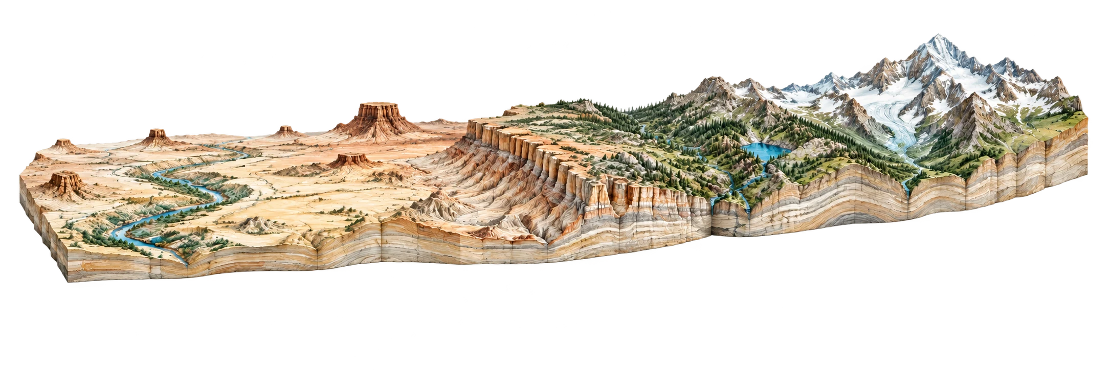
ORIGIN: Badwater Basin (Death Valley)(-282 ft)
TERMINUS: Mount Whitney Summit(14505 ft)
DRAG PROFILE TRANSECT:42.3 Miles from Origin1,560 FT ELEVATION
ACTIVE TRANSECT NODE
Panamint Valley Floor
Elev: 1,560 ft
GEOLOGICAL STRATA UNIT
Quaternary Playa Alluvium
Slope Angle: 1.2° Incline
GEOMORPHIC PROVINCES
Death Valley Pull-Apart GrabenPanamint Range Fault Block