ECLIPSE ATLAS / TOTAL SOLAR ECLIPSE OF 2 AUGUST 2027
Six minutes of night over the Nile
On Monday 2 August 2027 the Moon’s shadow crosses Europe, Africa and Asia in under three and a half hours, from the Strait of Gibraltar to the Horn of Africa. Inside the band the Sun goes completely dark. Press play, or drag the shadow along its path.
- longest totality, near Luxor
- 6m 23s
- path width
- 206–259 km
- shadow on Earth
- ≈ 3h 25m
- continents
- 3
13:06 in Egypt10:06 UT · 6m 23s on the central line
Greatest eclipse near Luxor: 6 minutes 23 seconds, with the Sun almost overhead.
In the shadow now: Luxor
Your location
Pick a spot
No location chosen
Click or tap the map, choose a city below, or enter coordinates. Inside the shadow band the Sun is completely covered; outside it, only partly.
- Path of totality. Its edge glows brighter where totality lasts longer.
- Central line, with an eclipse mark every 30 minutes.
- The Moon’s shadow at the chosen time (approximate outline). Drag it along the path.
- Greatest eclipse, 6m 23s.
- City inside the path; hollow dots are just outside it.
Where to stand
Totality is longest on the central line and shortens towards the edges of the band. A city a few kilometres inside the limit sees only seconds of it. Cities run west to east, in the order the shadow reaches them; each bar is that city’s time in totality against the 6m 23s maximum. Times are for the middle of totality, in the local time in force on the day. Choose a city to find it on the map.
| City | Country | Totality | Local time | From central line |
|---|---|---|---|---|
| Cádiz | Spain | 10:47 | 95 km | |
| Tangier | Morocco | 09:47 | 8 km | |
| Tarifa | Spain | 10:47 | 35 km | |
| Tétouan | Morocco | 09:48 | 15 km | |
| Gibraltar | Gibraltar | 10:48 | 48 km | |
| Málaga | Spain | 10:49 | 110 km | |
| Oran | Algeria | 09:54 | 2 km | |
| Sfax | Tunisia | 10:12 | 19 km | |
| Djerba | Tunisia | 10:12 | 80 km | |
| Benghazi | Libya | 11:31 | 2 km | |
| Luxor | Egypt | 13:05 | 15 km | |
| Marsa Alam | Egypt | 13:11 | 65 km | |
| Jeddah | Saudi Arabia | 13:25 | 39 km | |
| Mecca | Saudi Arabia | 13:27 | 73 km | |
| Bosaso | Somalia | 14:00 | 90 km |
So close, and only partial
These places sit just outside the band. They will see a deep partial eclipse, but the Sun never goes fully dark. A short trip towards the central line changes that.
| City | Country | Outside by | Head |
|---|---|---|---|
| Algiers | Algeria | 14 km | south |
| Aswan | Egypt | 14 km | north-east |
| Tobruk | Libya | 23 km | south-west |
| Hurghada | Egypt | 65 km | south-west |
| Seville | Spain | 71 km | south |
| Tunis | Tunisia | 109 km | south |
| Medina | Saudi Arabia | 185 km | south-west |
Watching safely
Never look at the Sun during the partial phases without eclipse glasses that meet ISO 12312-2. Sunglasses are not enough. Only during totality, while the Sun is completely covered, is it safe to look with the naked eye. Put the glasses back on as soon as the first bead of sunlight returns.
Sources & method
The path of totality comes from NASA’s table of northern limit, southern limit and central line at two-minute intervals (WGS84), with its greatest-eclipse figures.
City figures are Cartologium estimates from that table, not NASA local circumstances. A place’s distance from the central line is compared with its distance to the nearer limit, and the central-line duration is scaled by √(1 − x²). Times are interpolated along the central line. Expect accuracy to within a few seconds and about a minute; near the edge of the band, use a high-resolution map. Local times use the offsets in force on the day: UTC+2 in Spain, Gibraltar and Libya, UTC+1 in Morocco, Algeria and Tunisia, and UTC+3 in Egypt (summer time), Saudi Arabia and Somalia.
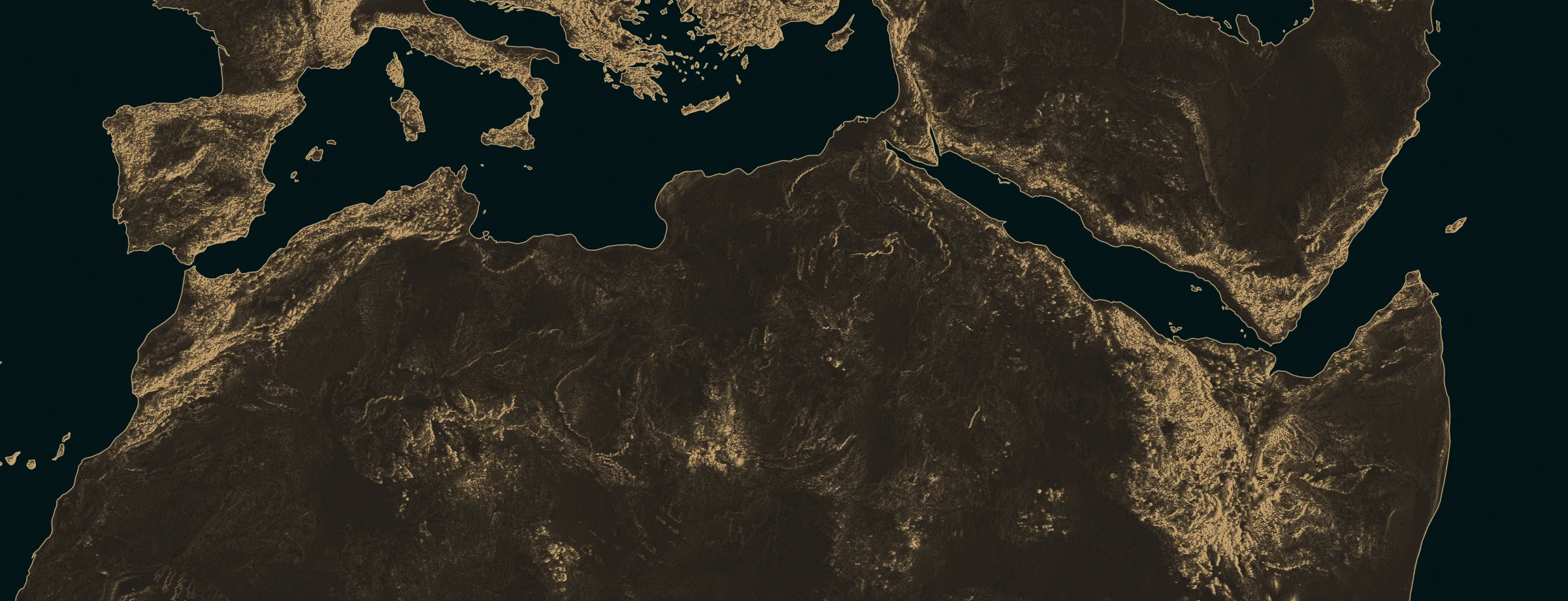
The map is an oblique plate carrée: its equator is the great circle the path follows, so the shadow runs straight across the sheet and north is tilted, as the arrow shows. Distances along the path are true to scale. The Moon’s shadow is drawn as an approximate ellipse, as wide as the path and as long as the ground it covers during central-line totality. The relief is Natural Earth’s public-domain shaded relief, reprojected into that frame and etched in gold after the Lunologium engraved basemap. The fine hatching is a finish, not elevation contours. Country lines follow the world-atlas 1:50m dataset and its boundary conventions. Plate provenance.