

Return to Projection Lab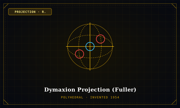
Polyhedral Family·Inventor: R. Buckminster Fuller·Year: 1954
Dymaxion Projection (Fuller)
MATHEMATICAL SPECIMEN · DYMAXION
"Unfolded regular icosahedron revealing Earth as one continuous island in one continuous ocean"
Projected onto the 20 triangular facets of an icosahedron and unfolded flat with no standard 'North-Up' orientation, Fuller's Dymaxion map presents the Earth's continents as an almost contiguous landmass with minimal local shape or area distortion.
Forward Mathematical Formulation
X-COORDINATE:
Gnomonic projection onto 20 icosahedral faces + coordinate unfolding matrixY-COORDINATE:
Transformation of spherical triangles to planar equilateral trianglesDIFFERENTIAL METRIC:
Near-uniform scale across face centers; boundary distortion < 2%Cartographic Application & Critique
Primary Applications: Human migration pattern visualization, Spaceship Earth ecological pedagogy, Global energy grid modeling.
Critical Analysis: A radical disruption of Eurocentric north-oriented spatial hierarchy. Its interrupted oceans make it useless for maritime navigation, but unequaled for tracking terrestrial human civilization lineages.
TISSOT INDICATRIX (Lat: 60°N)Area: 1.02×
MERIDIAN (h)
1.13
PARALLEL (k)
0.90
ANGULAR (2θ')
13.2°
Tissot Profile Across Latitudes
| LATITUDE | SCALE h | SCALE k | AREA hk | 2θ' DEFORM |
|---|---|---|---|---|
| 0°N | 1.02 | 1.02 | 1.04× | 4.1° |
| 30°N | 1.03 | 1.01 | 1.04× | 5.2° |
| 60°N | 1.04 | 1.02 | 1.06× | 6.0° |
| 80°N | 1.05 | 1.03 | 1.08× | 7.2° |
Interdisciplinary Geometric Links
Differential TopologyDERIVED_FROM
Icosahedral Polyhedral Mesh
Narrative SemioticsEXPRESSES
Spaceship Earth Narrative
Academic Provenance: Fuller, R. B. (1943)