

Ptolemy’s Geographia World Map
"The foundational map establishing coordinate latitude, longitude, and mathematical spherical projection"
Published in Alexandria c. 150 CE and rediscovered in Renaissance Europe, Ptolemy’s map cataloged over 8,000 localities with mathematical latitude and longitude coordinates, depicting the known ecumene from Britain to China.
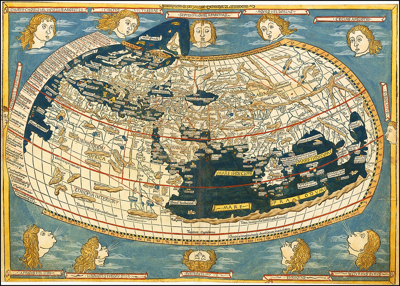
- First systematic latitude and longitude coordinate graticule
- Enclosed Indian Ocean depicted as a landlocked inland lake (Terra Incognita)
- 12 classical wind heads blowing into the edges
Image credit and reuse
Ptolemy’s Geographia World Map
Ptolemy; via Wikimedia Commons
Public domain under the individual source record. Metadata added; image pixels unchanged. Display crop may vary by viewport. Retain source credit and terms. Historical mapmaking context is separate from this image reproduction.
The Rhetorical & Ideological Argument
"Space is fundamentally an objective mathematical continuum that can be calculated, indexed by numbers, and framed within curved parallels."
- First systematic latitude and longitude coordinate graticule
- Enclosed Indian Ocean depicted as a landlocked inland lake (Terra Incognita)
- 12 classical wind heads blowing into the edges
- The Americas and Pacific Ocean (unknown to Greco-Roman geographers)