

Mercator’s Nova et Aucta Orbis Terrae Descriptio (1569)
"The foundational marine navigation chart where lines of constant compass bearing are straight lines"
Mercator formulated a breakthrough mathematical projection: by progressively spacing parallels of latitude toward the poles, every rhumb line (loxodrome) plotted across the ocean becomes a straight line.
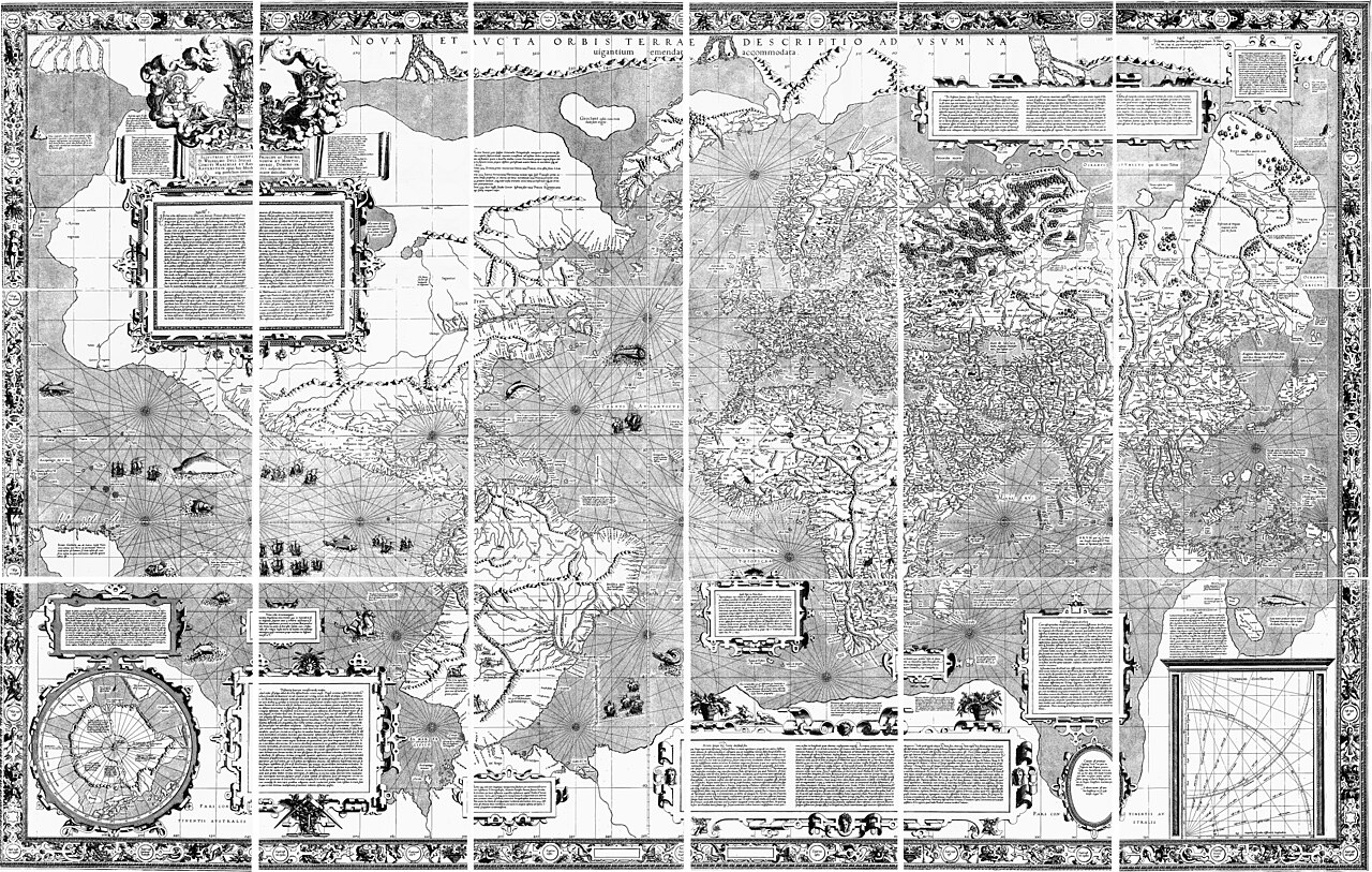
- First implementation of conformal cylindrical math
- Rupes Nigra (magnetic black rock) placed at the North Pole
- Immense Terra Australis continent spanning the Antarctic
Image credit and reuse
Mercator’s Nova et Aucta Orbis Terrae Descriptio (1569)
Gerardus Mercator; medium-resolution Basel reproduction by Wilhelm Krücken, via Wikimedia Commons
Public domain under the individual source record. Metadata added; image pixels unchanged. Display crop may vary by viewport. Retain source credit and terms. Historical mapmaking context is separate from this image reproduction.
The Rhetorical & Ideological Argument
"A specialized navigational instrument designed to prevent shipwrecks, whose conformal fidelity ($h=k=\sec\phi$) created massive polar landmass inflation."
- First implementation of conformal cylindrical math
- Rupes Nigra (magnetic black rock) placed at the North Pole
- Immense Terra Australis continent spanning the Antarctic
- Equal-area proportionality; high-latitude lands are inflated exponentially