

The Catalan Atlas (1375)
"The pinnacle of medieval portolan art depicting Mansa Musa, the Silk Road, and compass roses"
Commissioned by King Charles V of France from Majorcan Jewish cartographer Abraham Cresques, this masterpiece synthesized accurate Mediterranean coastal navigation with Marco Polo's travels across Asia and the West African gold trade.
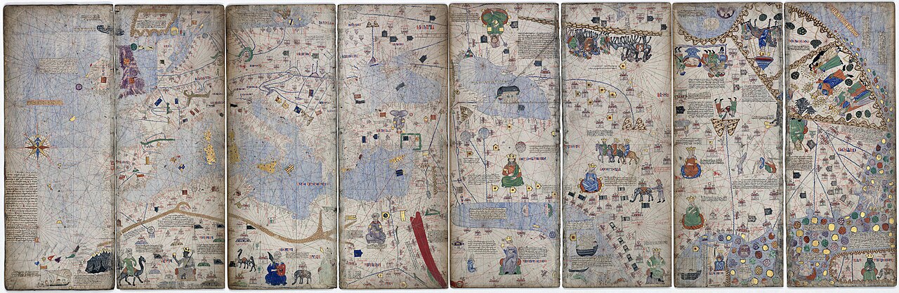
- Famous depiction of Emperor Mansa Musa of Mali holding a golden nugget
- First known use of a 32-point nautical compass rose on a map
- Caravans of merchants traveling the Silk Road toward Cathay (China)
Image credit and reuse
The Catalan Atlas (1375)
Cresques Abraham; via Wikimedia Commons
Public domain under the individual source record. Metadata added; image pixels unchanged. Display crop may vary by viewport. Retain source credit and terms. Historical mapmaking context is separate from this image reproduction.
The Rhetorical & Ideological Argument
"A commercial celebration of global trade routes and sovereign wealth: depicting West Africa not as a barbarian void, but as an empire ruled by the wealthiest monarch on Earth."
- Famous depiction of Emperor Mansa Musa of Mali holding a golden nugget
- First known use of a 32-point nautical compass rose on a map
- Caravans of merchants traveling the Silk Road toward Cathay (China)
- Interior African topography beyond the trans-Saharan camel trade routes