

Return to Map Specimen Database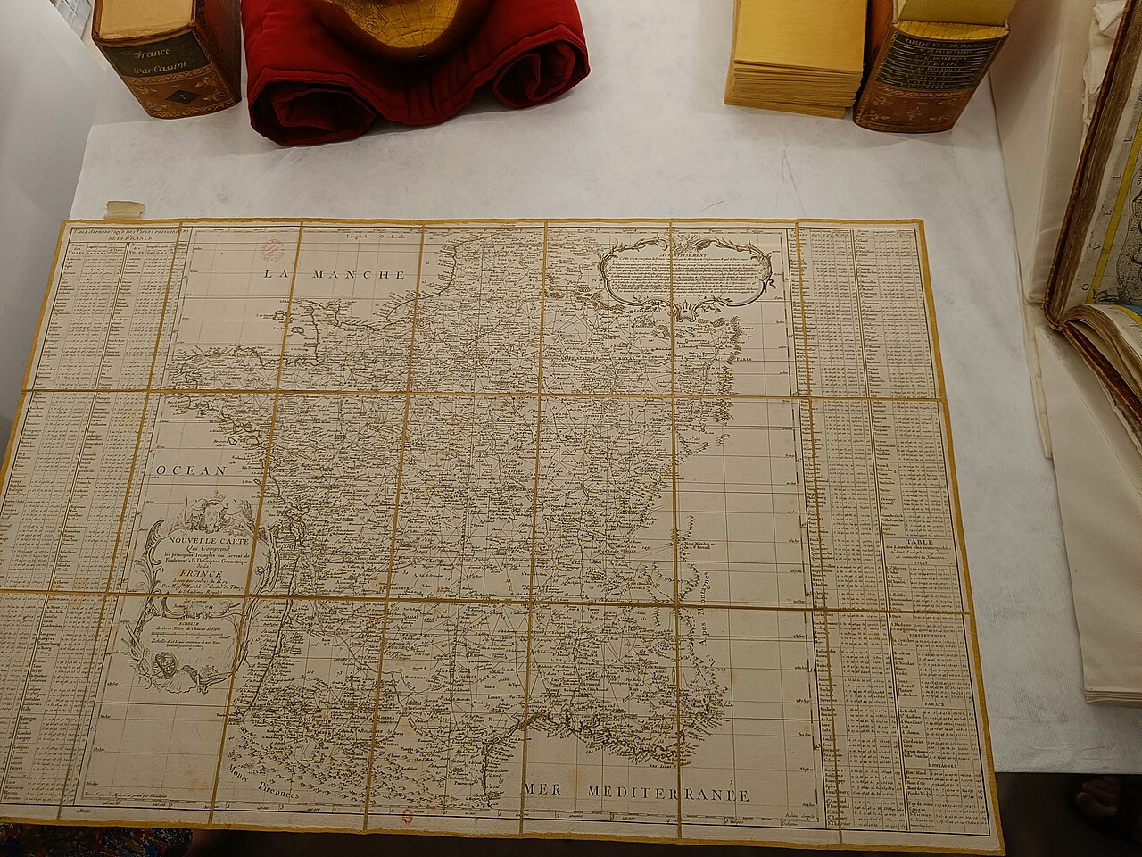
Era: Age of Discovery & Imperial·Historical mapmaker: César-François Cassini de Thury (Cassini III)·Year: 1744·Image reuse: CC0
Carte de Cassini (1744–1789)
"The first nationwide geometric triangulation survey in human history"
Commissioned by King Louis XV and executed over four generations of the Cassini dynasty, this 180-sheet survey used geodetic theodolite triangulation across mountain peaks to map France with unprecedented scientific precision.
Interactive Specimen Pan & ZoomAccession: BnF Ge DD 2987
Orientation: North-Up
180 sectional sheets covering entire Kingdom of France
OwenBlacker; via Wikimedia Commons·Reproduction·Image source record
ZOOM: 100%Repository Archive
Notable Cartographic Signatures
- First systematic triangulation network covering an entire country
- When the first survey was presented to Louis XV, he remarked that Cassini's accurate measurements cost him more land than any foreign war
- Detailed depiction of every windmill, parish church, road, and chateau
Image credit and reuse
Cassini atlas index — modern reproduction
OwenBlacker; via Wikimedia Commons
CC0 under the individual source record. Metadata added; image pixels unchanged. Display crop may vary by viewport. Retain source credit and terms. Historical mapmaking context is separate from this image reproduction.
The Rhetorical & Ideological Argument
"The sovereign state is defined not by feudal boundaries or oral custom, but by rigorous scientific trigonometry anchored to the Paris Meridian."
Explicit Features
- First systematic triangulation network covering an entire country
- When the first survey was presented to Louis XV, he remarked that Cassini's accurate measurements cost him more land than any foreign war
- Detailed depiction of every windmill, parish church, road, and chateau
Intentional Omissions
- Topographic elevation contours (used hachures for relief)
Physical Specimen & Geodesy
Projection:
Cassini Transverse Cylindrical Projection
Orientation Axis:
North-Up
Physical Medium:
Copperplate engraving based on geodetic triangulation
Original Physical Dimensions:
180 sectional sheets covering entire Kingdom of France
Custodial Repository:
Bibliothèque nationale de France (BnF) / Rumsey
Accession: BnF Ge DD 2987
Interdisciplinary Context & Connections
Differential TopologyPIONEERS
Geodetic Triangulation Networks
Jurisprudence & CadastreSTANDARDIZES
National Cadastral Boundary Surveying
Academic Provenance: Cassini de Thury, C.-F. (1789)