

Isla Bermeja
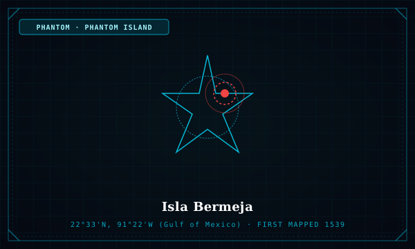
"The vanishing Gulf of Mexico island whose absence cost Mexico billions in deepwater oil rights"
Marked on Spanish maps since 1539 as a reddish islet northwest of the Yucatán Peninsula, Isla Bermeja served as a key anchor point for Mexico's 200-nautical-mile Exclusive Economic Zone. In 1997, a Mexican naval expedition found nothing at the site, shrinking Mexico's claim in the oil-rich 'Doughnut Hole' treaty with the United States.
Cartographic Origin Story
First listed in Alonso de Santa Cruz's *El Yucatán e Islas Adyacentes* (1539) and included in official government atlases through the 20th century.
A dramatic intersection of phantom cartography, UNCLOS maritime boundaries, and multinational oil concessions.
Scientific Disproof or Geological Fate
National Autonomous University of Mexico (UNAM) oceanographic surveys in 2009 confirmed water depths of 40–50 fathoms and no trace of an island, spawning conspiracy theories about CIA destruction.