

Return to Border Engine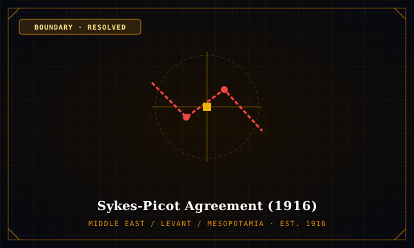
Status: Resolved·Established: 1916·Middle East / Levant / Mesopotamia
Sykes-Picot Agreement (1916)
BOUNDARY SPECIMEN · SYKES-PICOT-AGREEMENT
"Secret 'Line in the Sand' dividing the Ottoman Empire into British and French mandates"
Negotiated in secret by Sir Mark Sykes and François Georges-Picot, this map drew a diagonal line from Acre on the Mediterranean to Kirkuk in Mesopotamia, partitioning the Levant into French zones of control (Syria, Lebanon) and British zones (Iraq, Transjordan, Palestine).
Historical Genesis & Geopolitics
Exposed by the Bolsheviks in 1917 following the Russian Revolution, the secret map contradicted British promises of an independent unified Arab state made to Sharif Hussein of Mecca.
Cartographic Mechanism & Impact
Became the quintessential modern symbol of imperial cartographic arrogance, creating multi-sectarian states with fragile borders.
Signatory Parties & Sovereigns
- United Kingdom
- French Third Republic
- Russian Empire (assenting)
Mechanism: Direct diagonal straight-line demarcation ('Acre-to-Kirkuk Line')
Interdisciplinary Spatial Connections
Territorial IntelligenceCONTEXTUALIZES
Levant Sovereign Legitimacy
Jurisprudence & CadastreSTRUCTURED_BY
League of Nations Mandate System
Treaty Archive / Source: Barr, J. (2011)