

Return to Border Engine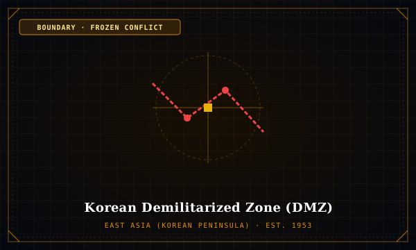
Status: Frozen Conflict·Established: 1953·East Asia (Korean Peninsula)
Korean Demilitarized Zone (DMZ)
BOUNDARY SPECIMEN · KOREAN-DEMILITARIZED-ZONE
"250 km Military Demarcation Line surrounded by a 4 km no-man's land and involuntary nature sanctuary"
Established by the 1953 Korean Armistice Agreement, the MDL cuts across the Korean Peninsula along the line of military contact (near the 38th Parallel). Flanked by 2 km buffers on each side, it is the most heavily fortified border on Earth.
Historical Genesis & Geopolitics
Replaced the arbitrary 1945 38th parallel partition with a jagged line reflecting where opposing armies stood when fighting ceased on July 27, 1953.
Cartographic Mechanism & Impact
Because humans have been strictly excluded for over seven decades, the cartographic buffer has transformed into an involuntary biodiversity corridor for endangered red-crowned cranes and Asiatic black bears.
Signatory Parties & Sovereigns
- Democratic People's Republic of Korea
- United Nations Command / Republic of Korea
Mechanism: Armistice line of military contact + 4km buffer zone
Demarcated Length: 250 km
Territorial Enclosure: 907 km²
Interdisciplinary Spatial Connections
Territorial IntelligenceTRACKS
Inter-Korean Geopolitical Tension
Jurisprudence & CadastreGOVERNED_BY
Armistice Agreements & Buffer Zones
Treaty Archive / Source: Kim, K. C. (1997)